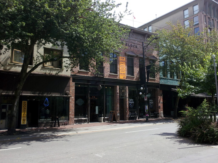
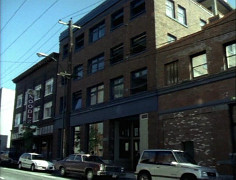
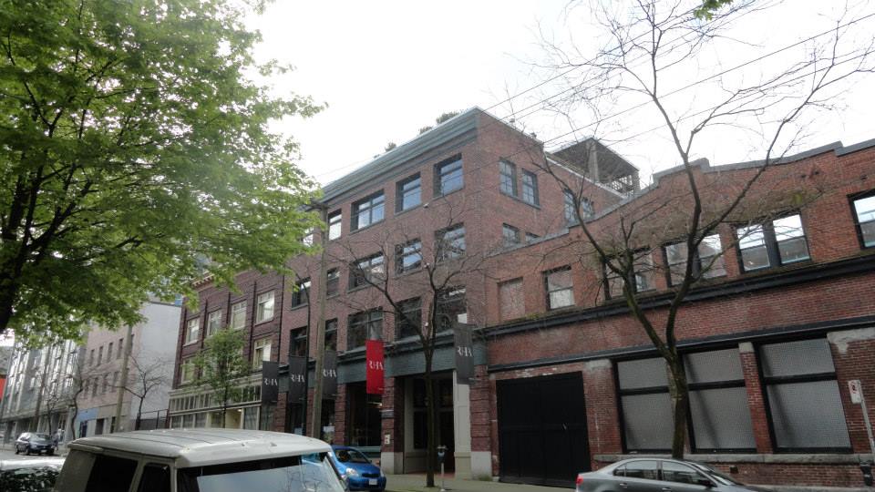
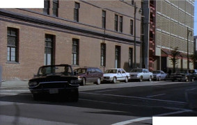
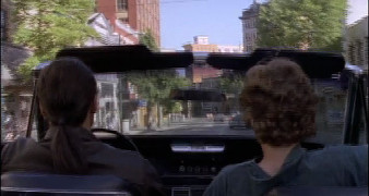
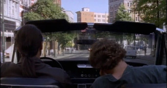
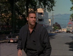
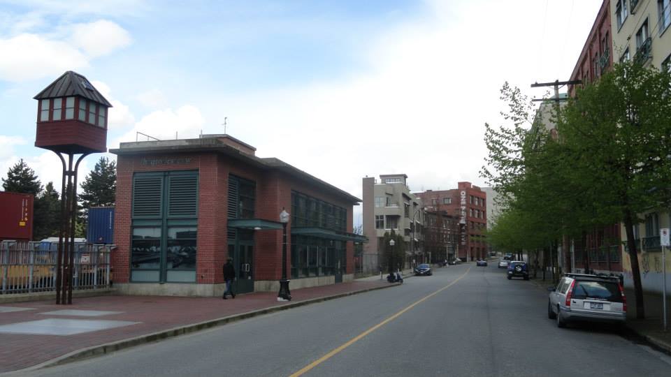
Carrall St
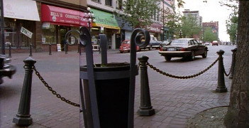
1x05: Free Fall
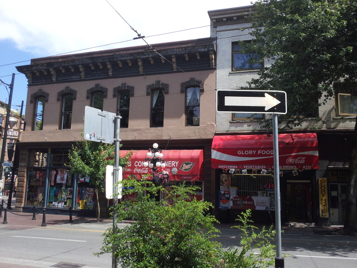
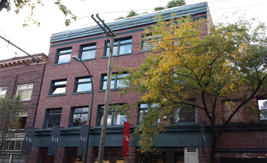
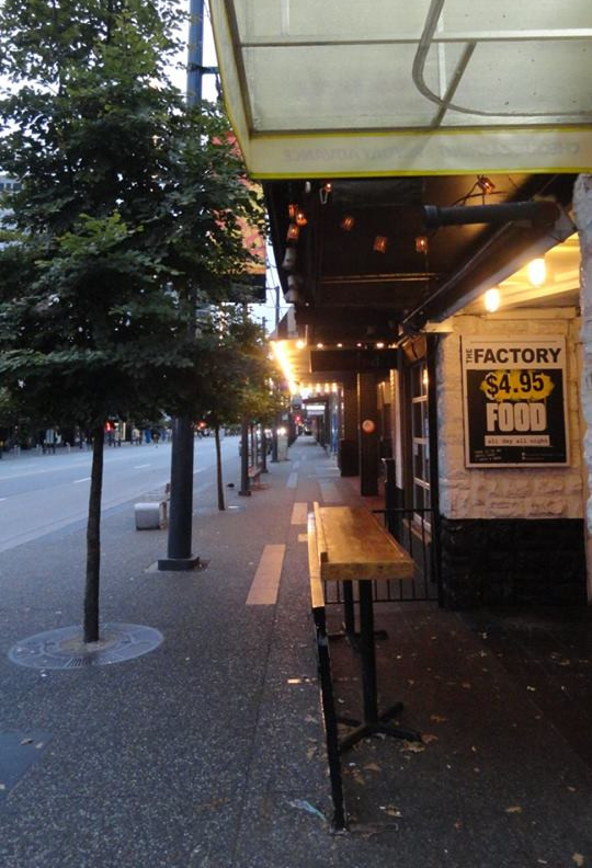
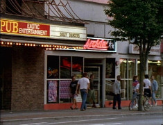
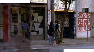
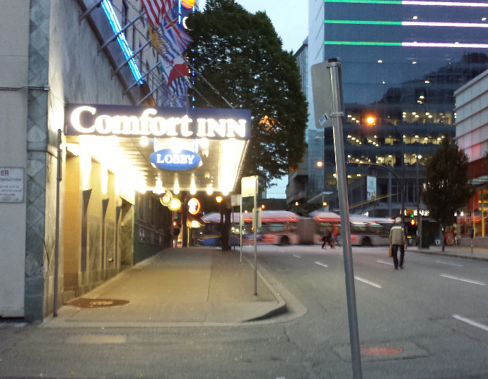
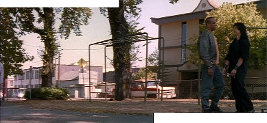
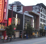
210 Carrall St
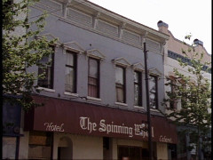
1x02: Family Tree
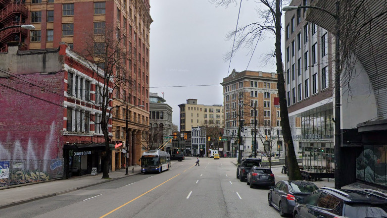
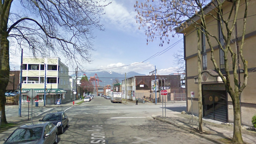
210 Carrall St
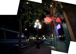
1x08: Deadly Medicine
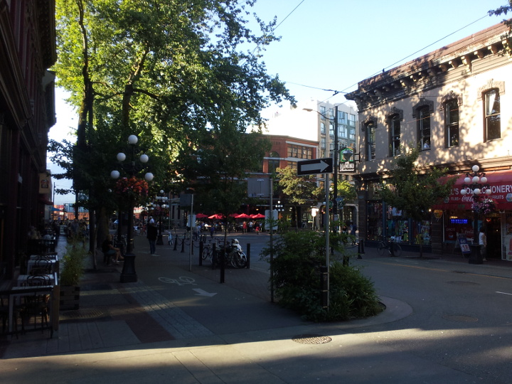
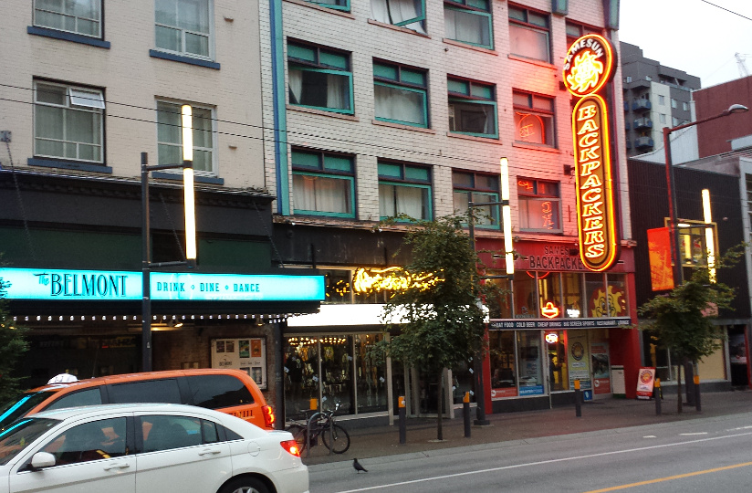
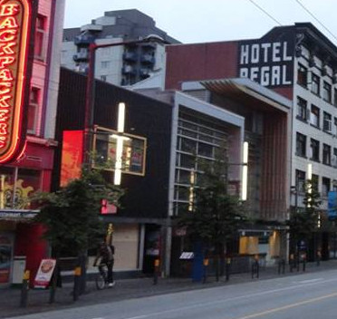
210 & 216 Carrall St

2015
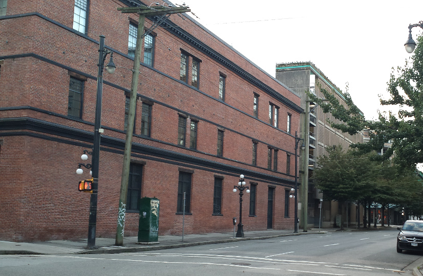
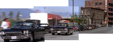
Carrall St
2014
Carrall St
2014
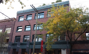
210 Carrall St
2014
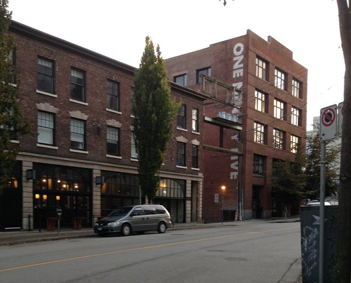
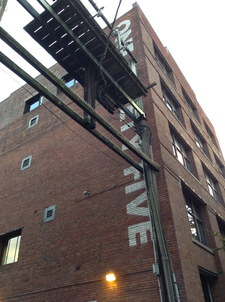
118 Powell St
1x02: Family Tree
118 Powell St
[Photo by Andy Sloane, 2014]
118 Powell St
2015
Columbia & Powell intersection
1x02: Family Tree
Columbia & Powell intersection
2015
SE on W Hastings
1x02: Family Tree
SE on W Hastings
1x02: Family Tree
SE on W Hastings
Google streetview, Jan 2022
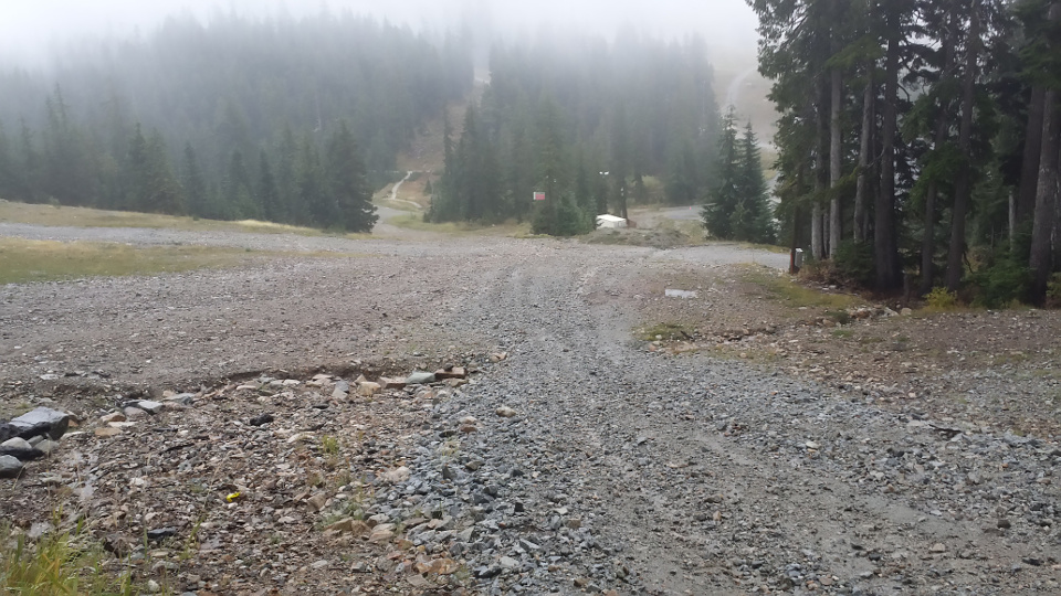
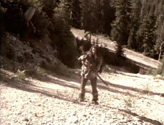
Cypress Mountain - bottom of 'Windjammer' (I think)
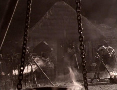
1x02: Family Tree
Cypress Mountain - bottom of 'Windjammer' (I think)
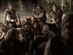
1x02: Family Tree
Cypress Mountain ski map
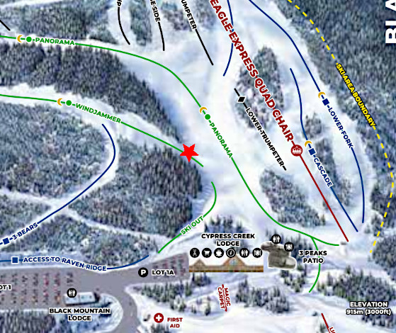
from cypressmountain.com
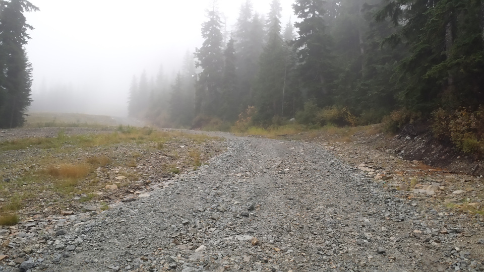
Cypress Mountain - bottom of 'Windjammer' (I think)
2015
Cypress Mountain - bottom of 'Windjammer' (I think)
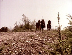
1x02: Family Tree
Cypress Mountain - bottom of 'Windjammer' (I think)
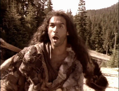
1x02: Family Tree
Cypress Mountain - bottom of 'Windjammer' (I think)
1x02: Family Tree
Cypress Mountain - bottom of 'Windjammer' (I think)

2015
Cypress Mountain - bottom of 'Windjammer' (I think)
2015
McDonald's

2015
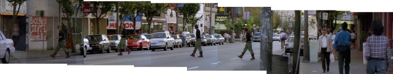
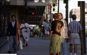
northwest side of Granville St, from 1061 to 1017
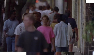
1x02: Family Tree
northwest side of Granville St, from 1061 to 1017
1x02: Family Tree
1017 Granville St
[Photo by Andy Sloane, 2015]
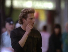
crossing Granville St (toward 1018)
1x02: Family Tree
Looking toward Chateau Granville
[Photo by Andy Sloane, 2015]
Looking toward Chateau Granville

[Photo by Andy Sloane, 2015]
Granville Street panorama
[Photo by Andy Sloane, 2015]
1039 Granville St
1x02: Family Tree
1039 Granville St
2015
1018 Granville St
1x02: Family Tree
1018 Granville St
[Photo by Andy Sloane, 2015]
looking back from other end of Granville Street

[Photo by Andy Sloane, 2015]
654 Nelson St
1x02: Family Tree
654 Nelson St
2015
Oppenheimer Park
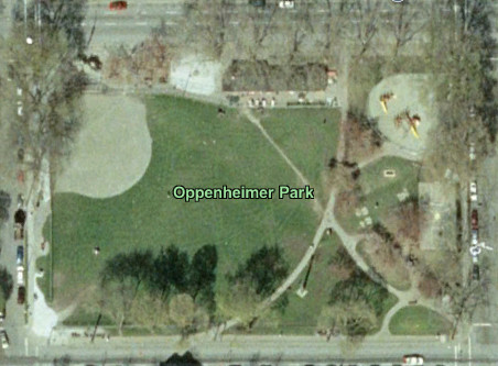
Google Earth, March 2004
Oppenheimer Park - sidewalk
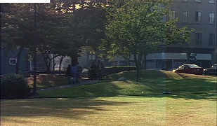
2x08: Revenge of the Sword
Oppenheimer Park - sidewalk
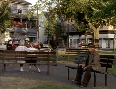
1x02: Family Tree
Oppenheimer Park - sidewalk

[Photo by Andy Sloane, 2014]
Oppenheimer Park - sidewalk
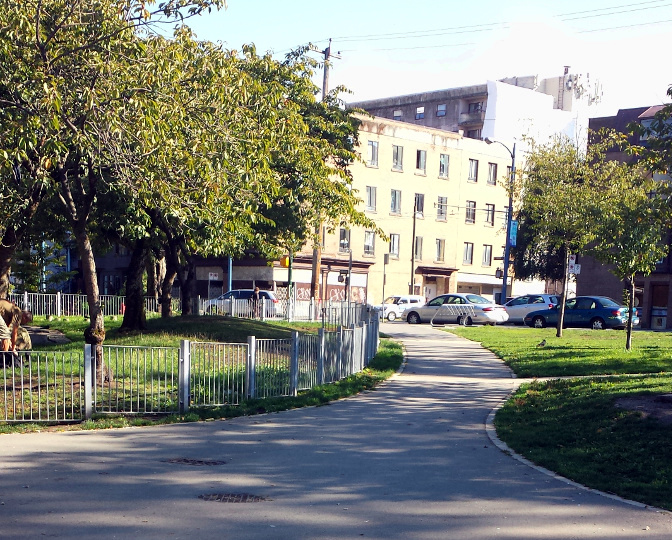
2015
Oppenheimer Park - playground
2x08: Revenge of the Sword
Oppenheimer Park - playground
2x08: Revenge of the Sword
Oppenheimer Park - Jackson Ave

[Photo by Andy Sloane, 2014]
Oppenheimer Park - Jackson Ave

2015
Oppenheimer Park - Jackson Ave
2x08: Revenge of the Sword
Oppenheimer Park - playground
2x08: Revenge of the Sword
Oppenheimer Park - Jackson Ave
Google streetview, Apr 2009
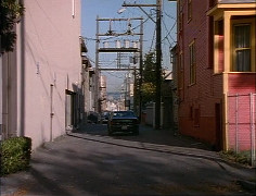
west on Alexander St
1x02: Family Tree
Alexander St
[Photo by Andy Sloane, 2014]
195 Alexander St
[Photo by Jill Berticus, 2015]
195 Alexander St
[Photo by Jill Berticus, 2015]
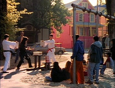
looking north from Choklit Park
1x04: Innocent Man
looking north from Choklit Park
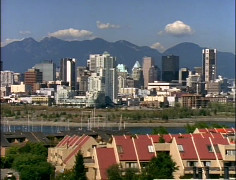
2x01: The Watchers
5x11: Comes a Horseman
looking north from Choklit Park
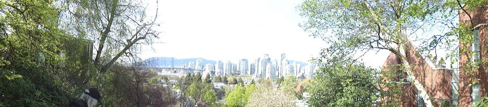
[Photo by Andy Sloane, 2014]
looking north from Choklit Park
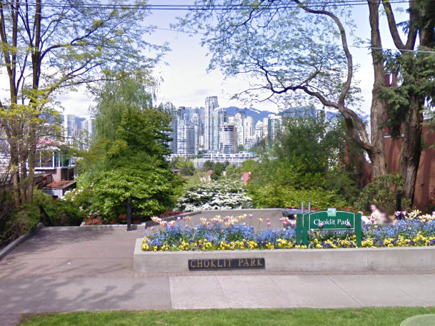
Google streetview, May 2009
looking north from Choklit Park
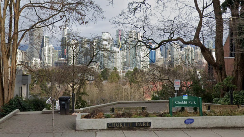
Google streetview, Jan 2022
 for additional scene screencaps.
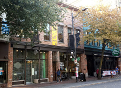 2015
2015 2014
2014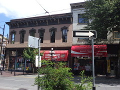 2014
2014 2014
2014
 2015
2015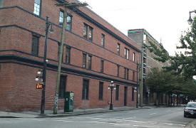
 2015
2015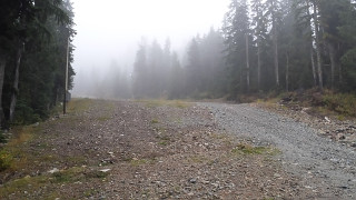 2015
2015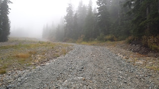 2015
2015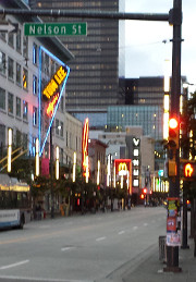 2015
2015 [Photo by Andy Sloan, 2015]
 [Photo by Andy Sloane, 2015]
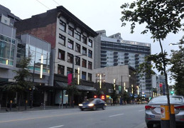 [Photo by Andy Sloane, 2015]
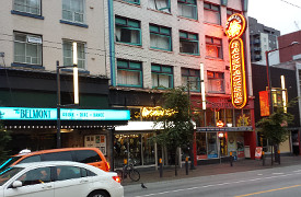
 [Photo by Andy Sloane, 2015]
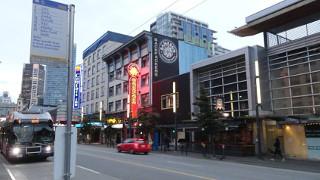 [Photo by Andy Sloane, 2015]
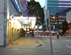 2015
2015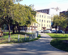 2015
2015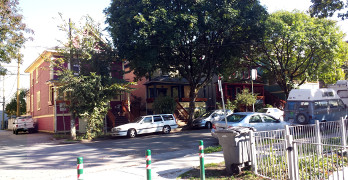 2015
2015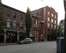 [Photo by Jill Berticus, 2015]
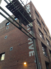 [Photo by Jill Berticus, 2015]