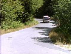
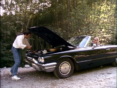
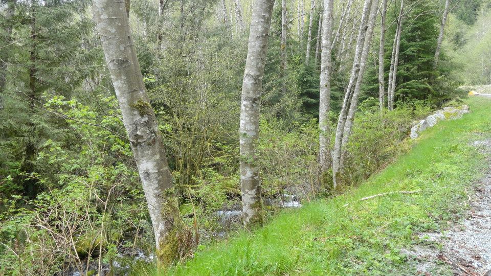
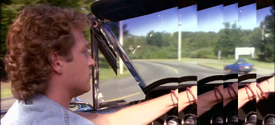
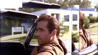
just north of Spur 4, LSCR
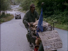
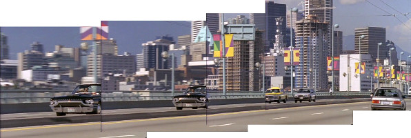
1x04: Innocent Man
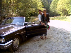
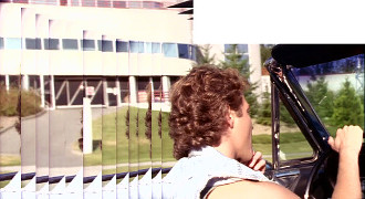
just north of Spur 4, LSCR
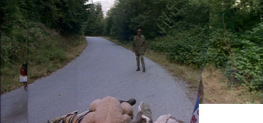
1x04: Innocent Man
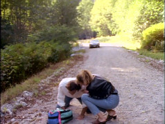
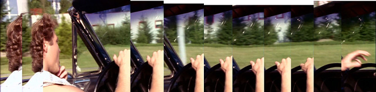
just north of Spur 4, LSCR
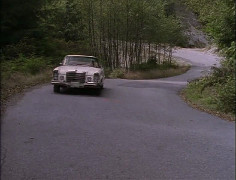
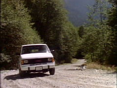
1x07: Mountain Men
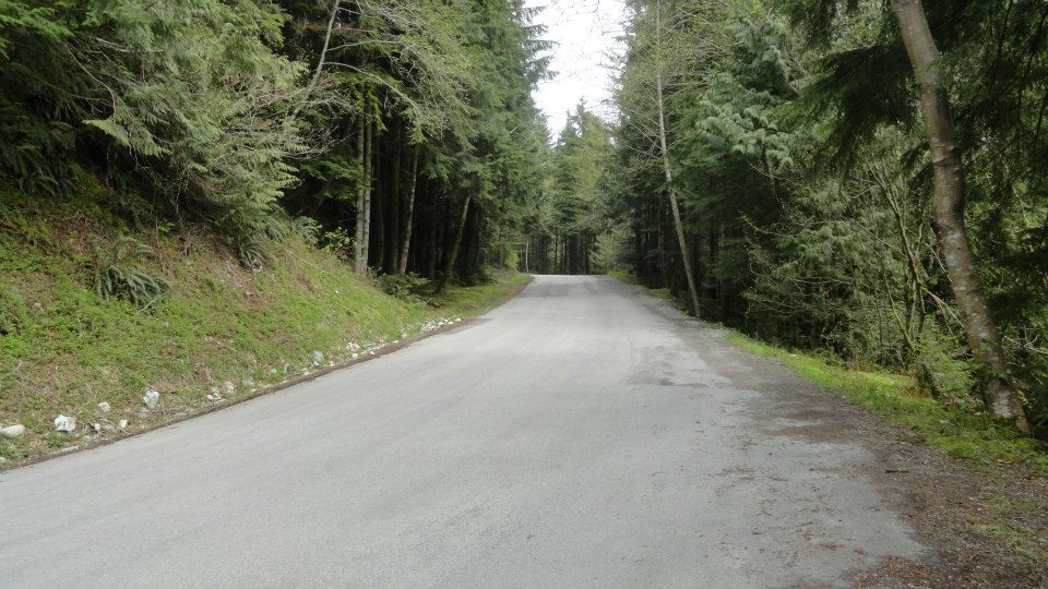
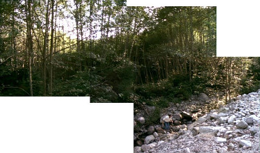
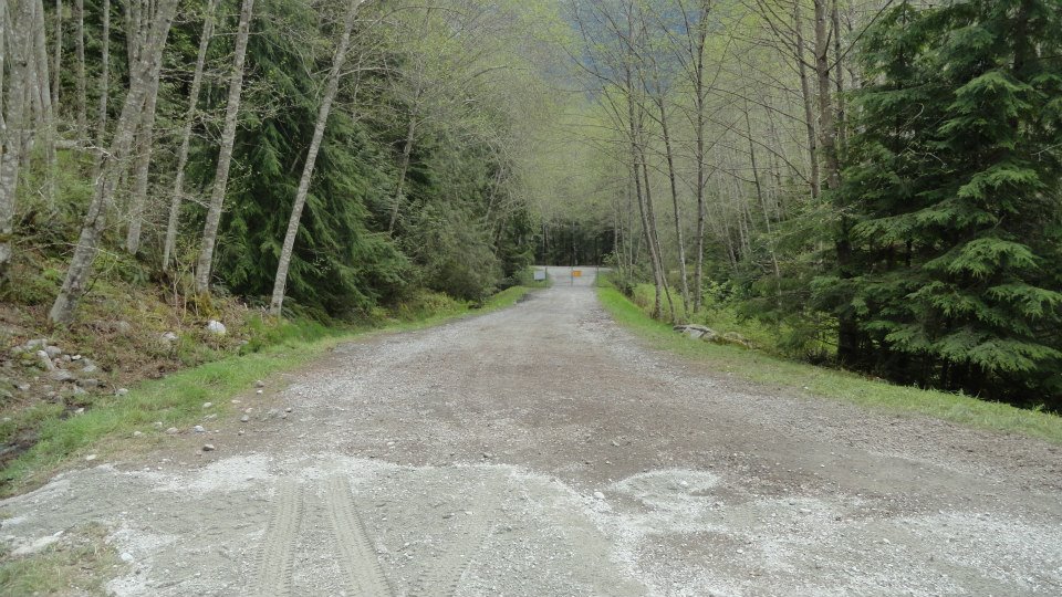
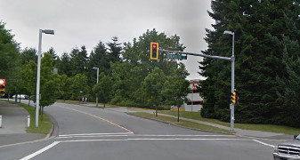
LSCR road, just N of Spur 4 (looking S)
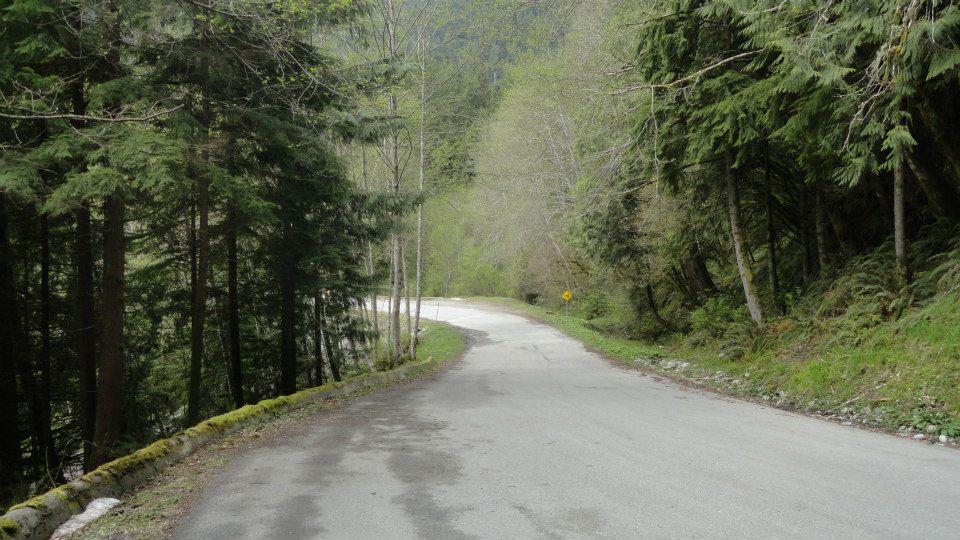
[Photo by Andy Sloane, 2014]
LSCR road, just N of Spur 4 (looking N)
[Photo by Andy Sloane, 2014]
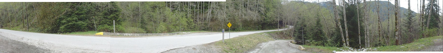
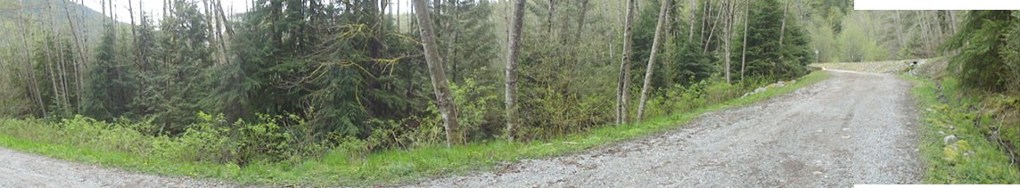
panorama of road just N of Spur 4, LSCR
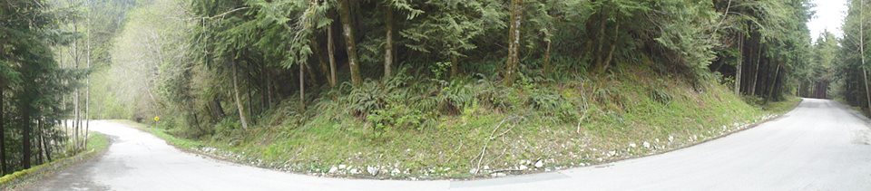
[Photo by Andy Sloane, 2014]
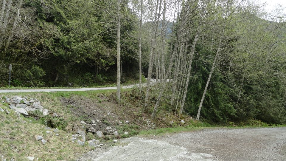
just N of Spur 4 turnoff (looking S)
[Photo by Andy Sloane, 2014]
Spur 4 turnoff (looking N)

[Photo by Andy Sloane, 2014]
Spur 4 turnoff (looking N)
[Photo by Andy Sloane, 2014]
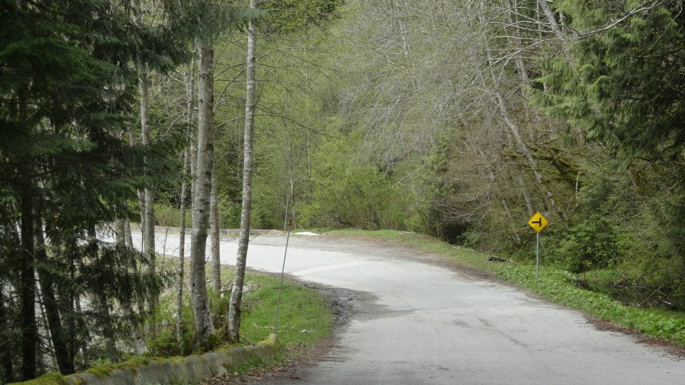
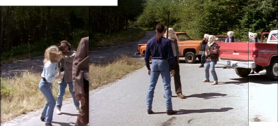
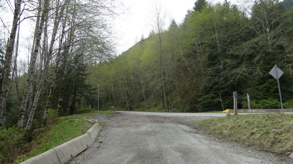
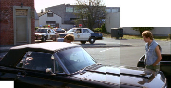
Spur 4 turnoff, LSCR
1x04: Innocent Man
panorama of Spur 4 turnoff, LSCR
[Photo by Andy Sloane, 2014]
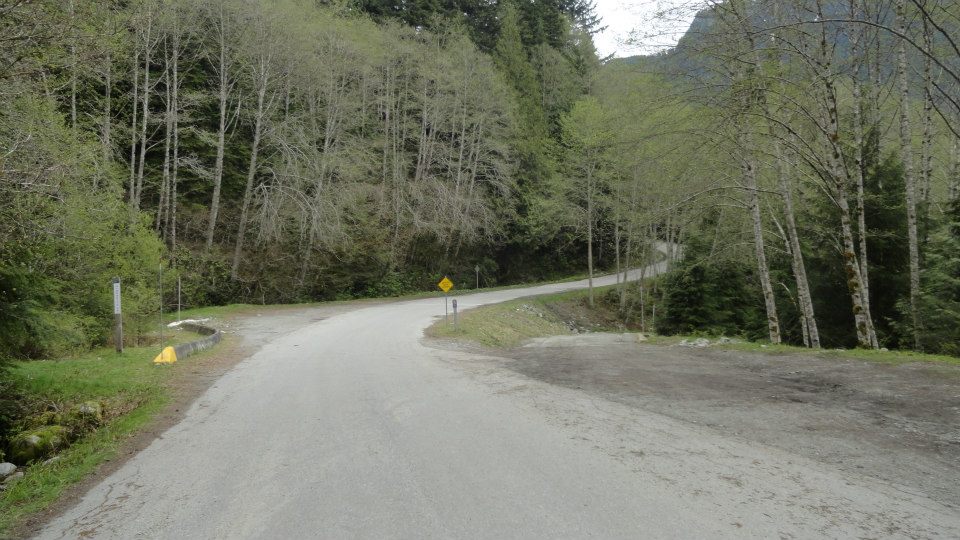
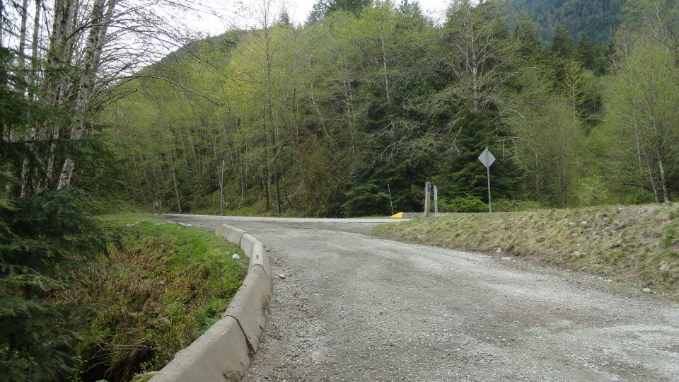
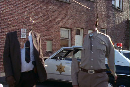
Spur 4 turnoff, LSCR
1x04: Innocent Man
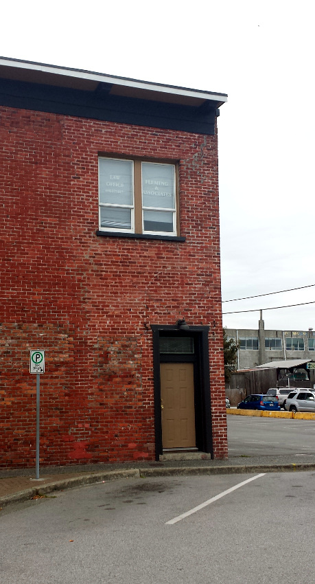
Spur 4 turnoff, LSCR
1x04: Innocent Man
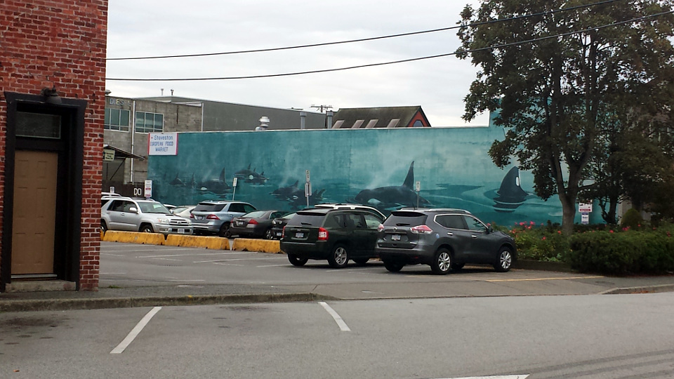
Spur 4 turnoff, LSCR
[Photo by Andy Sloane, 2014]
Spur 4 turnoff, LSCR
[Photo by Andy Sloane, 2014]
Spur 4 turnoff, LSCR
[Photo by Andy Sloane, 2014]
Spur 4 turnoff, LSCR
[Photo by Andy Sloane, 2014]
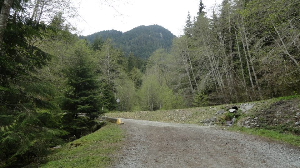
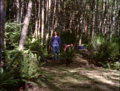
on Spur 4, LSCR
1x04: Innocent Man
on Spur 4, LSCR
1x04: Innocent Man
on Spur 4, LSCR
1x04: Innocent Man
on Spur 4, LSCR
1x04: Innocent Man
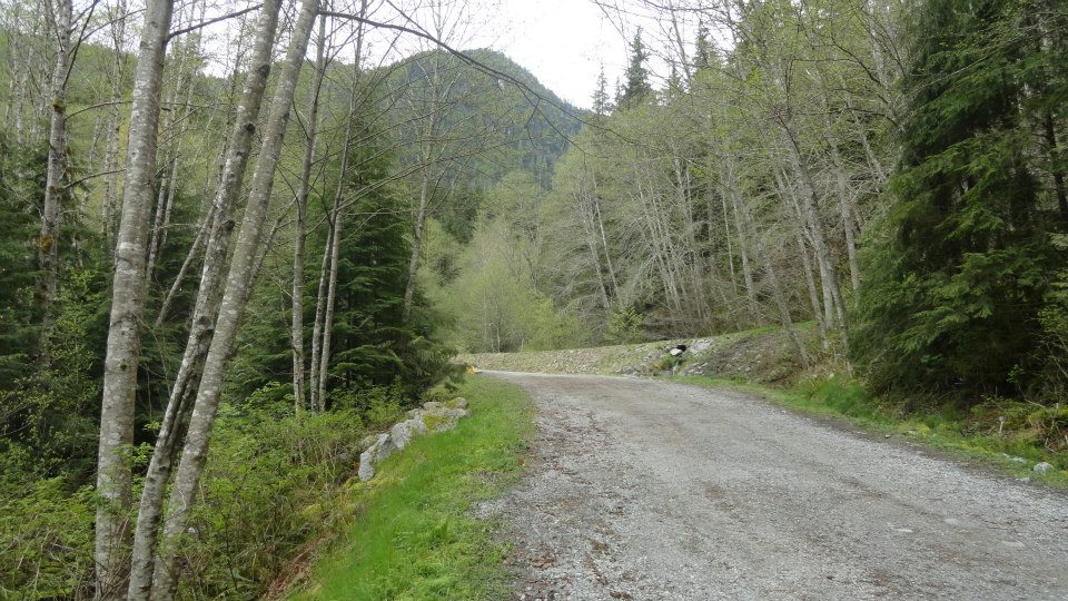
Spur 4, LSCR
[Photo by Andy Sloane, 2014]
panorama of Spur 4, LSCR
[Photo by Andy Sloane, 2014]
Spur 4, LSCR
[Photo by Andy Sloane, 2014]
Spur 4, LSCR

[Photo by Andy Sloane, 2014]
Spur 4, LSCR
[Photo by Andy Sloane, 2014]
Spur 4, LSCR
[Photo by Andy Sloane, 2014]
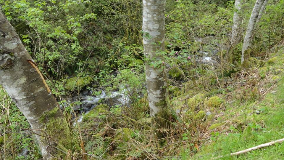
Lower Seymour Conservation Reserve
1x04: Innocent Man
Lower Seymour Conservation Reserve
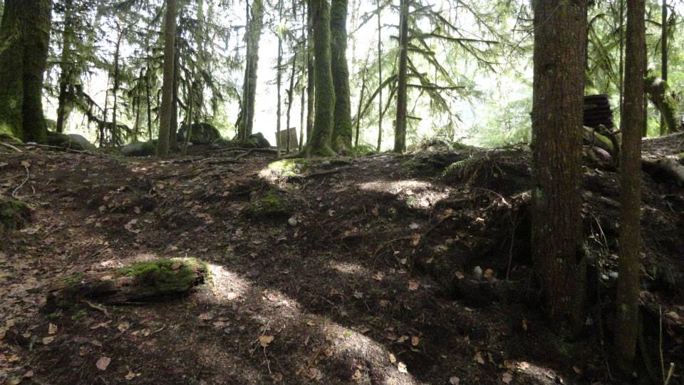
[Photo by Andy Sloane, 2014]
Lower Seymour Conservation Reserve
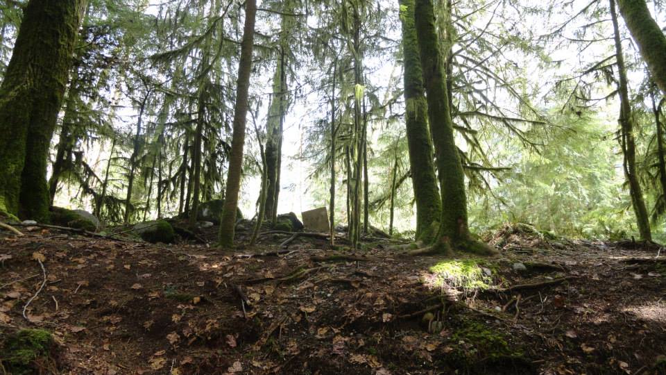
[Photo by Andy Sloane, 2014]
Lower Seymour Conservation Reserve
1x04: Innocent Man
Lower Seymour Conservation Reserve
1x04: Innocent Man
Lower Seymour Conservation Reserve
1x04: Innocent Man
Lower Seymour Conservation Reserve
1x04: Innocent Man
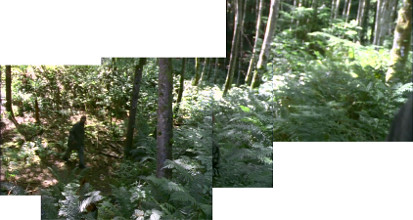
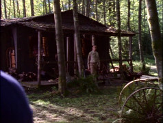
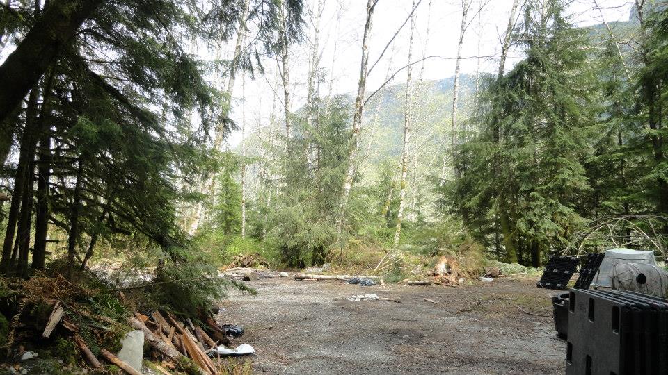
Cabin clearing, LSCR
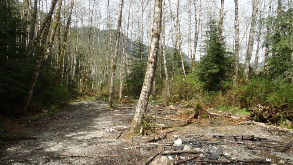
[Photo by Andy Sloane, 2014]
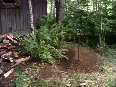
Cabin clearing, LSCR
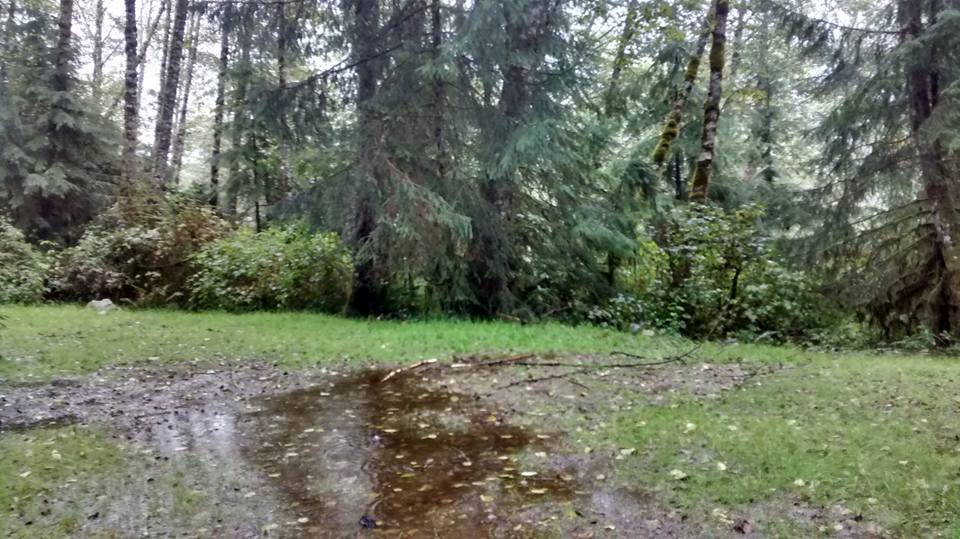
[Photo by "Nicholas Ward", 2015]
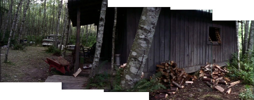
Cabin clearing, LSCR
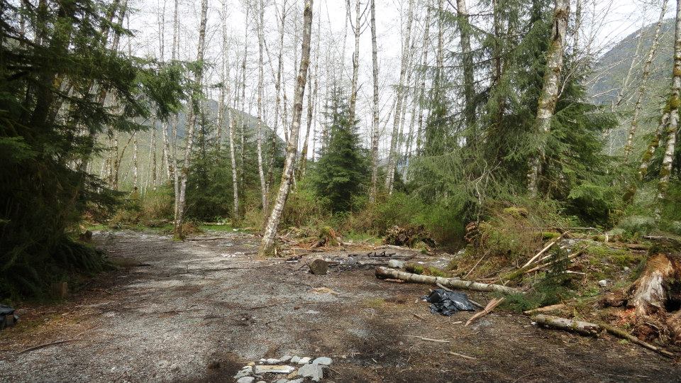
[Photo by Andy Sloane, 2014]
Cabin clearing, LSCR
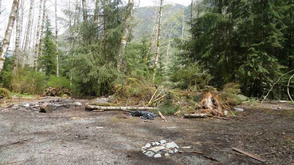
[Photo by Andy Sloane, 2014]
Cabin clearing, LSCR
[Photo by Andy Sloane, 2014]
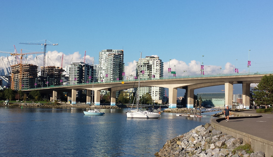
Cambie St Bridge
1x04: Innocent Man
Cambie St Bridge

2015
Cambie St Bridge
2015
Sanderson Way
1x04: Innocent Man
Sanderson Way

[Photo by Andy Sloane, 2014]
turning onto Gilmore Way
1x04: Innocent Man
turning onto Gilmore Way
Google streetview, May 2009
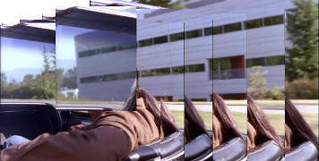
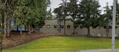
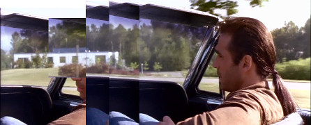
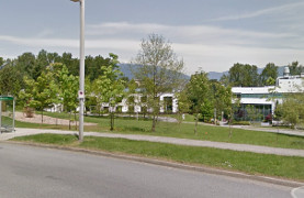
4225 Kincaid St loading dock (on Gilmore Way)
1x04: Innocent Man
continuing past 4225 Kincaid St
1x04: Innocent Man
4225 Kincaid St loading dock (on Gilmore Way)
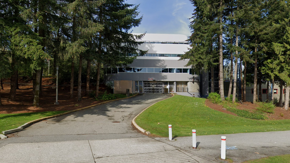
Google streetview, May 2023
continuing past 4225 Kincaid St
Google streetview, Feb 2021
across from 4225 Kincaid St
1x04: Innocent Man
across from 4225 Kincaid St
Google streetview, Feb 2022
3600 Gilmore Way
1x04: Innocent Man
3600 Gilmore Way

[Photo by Andy Sloane, 2014]
Steveston Highway

2015
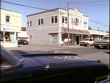
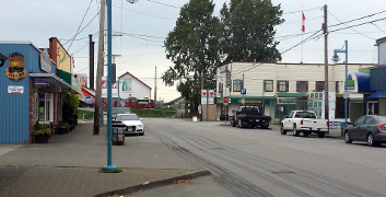
3rd Ave & Moncton
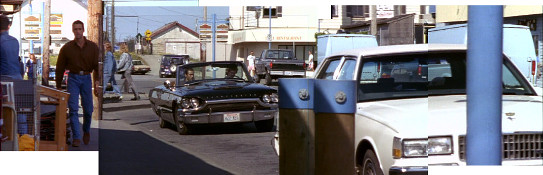
1x04: Innocent Man
3rd Ave & Moncton
1x04: Innocent Man
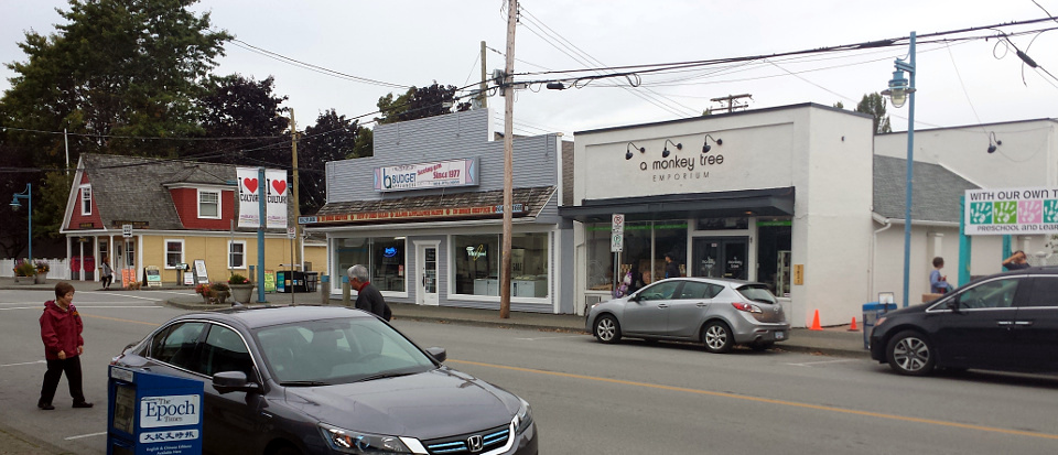
3rd Ave & Moncton

2015
3rd Ave & Moncton
2015
SE corner of 2nd Ave & Moncton
1x04: Innocent Man
SE corner of 2nd Ave & Moncton
1x04: Innocent Man
SE corner of 2nd Ave & Moncton
2015
SE corner of 2nd Ave & Moncton
2015
SE corner of 2nd Ave & Moncton

2015
SE corner of 2nd Ave & Moncton
[Photo by Andy Sloane, 2014]
SW corner of 2nd Ave & Moncton
1x04: Innocent Man
SW corner of 2nd Ave & Moncton

2015
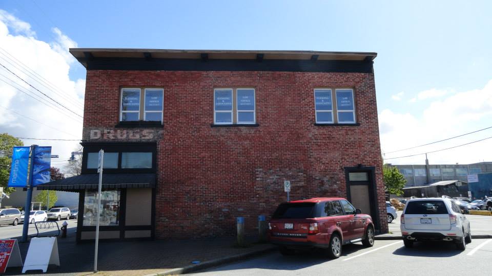
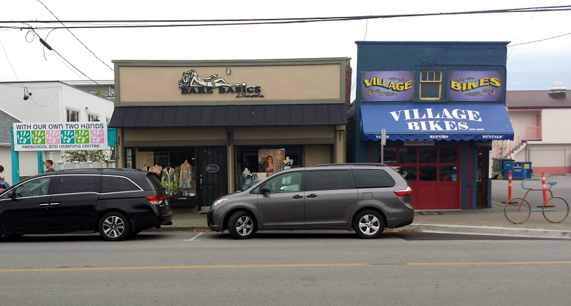
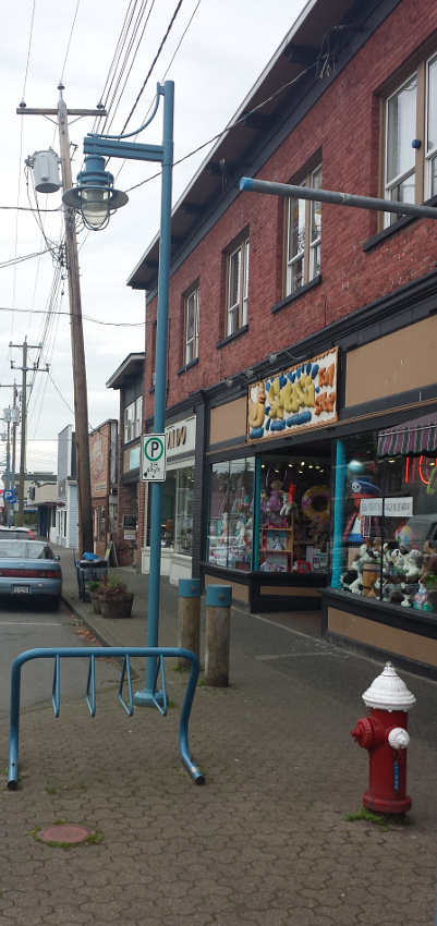
3511 Moncton St
2015
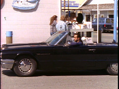
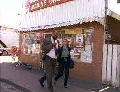
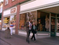
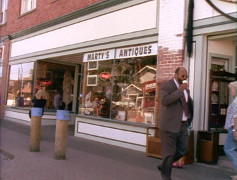
Moncton St
1x04: Innocent Man
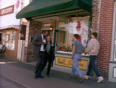
Moncton St
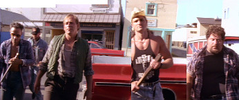
1x04: Innocent Man
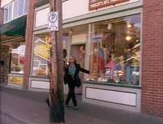
Moncton St
1x04: Innocent Man
Moncton St
2015
Moncton St
2015
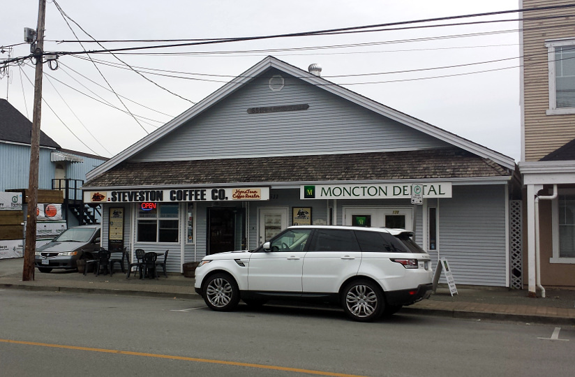
3820 Moncton St

2015
3911 Moncton St

2015
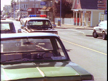
3820 Moncton St
1x04: Innocent Man
3820 Moncton St
1x04: Innocent Man
actual view
3820 Moncton St

[Photo by Andy Sloane, 2014]
3820 Moncton St

2015
3820 Moncton St
2015
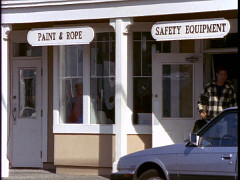
3700 Moncton St
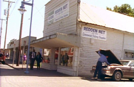
1x04: Innocent Man
3680 Moncton St
1x04: Innocent Man
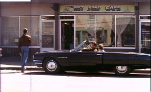
3580 Moncton St #170
1x04: Innocent Man
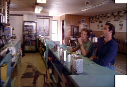
3580 Moncton St #150
1x04: Innocent Man
3580 Moncton St #140
1x04: Innocent Man
3580 Moncton St #140
1x04: Innocent Man
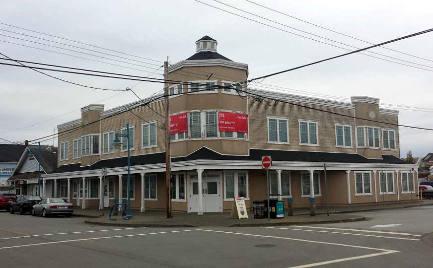
3700 Moncton St

2015
3680 Moncton St

2015
3580 Moncton St #150

2015
3580 Moncton St #140
2015
 for additional scene screencaps.
 [Photo by "Nicholas Ward", 2015]
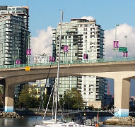 2015
2015 2015
2015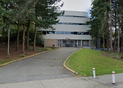 4225 Kincaid St loading dock (on Gilmore)
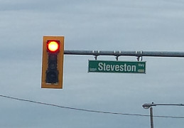 2015
2015
 2015
2015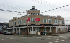 2015
2015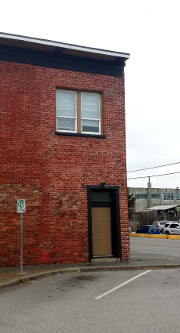 2015
2015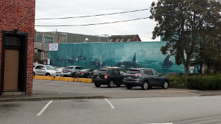 2015
2015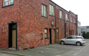 2015
2015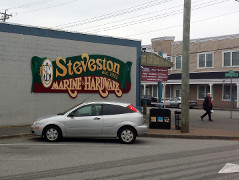 2015
2015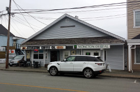 2015
2015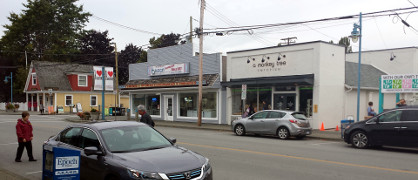 2015
2015 2015
2015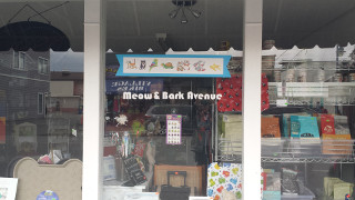 2015
2015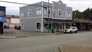 2015
2015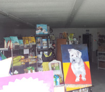 2015
2015 2015
2015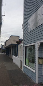 2015
2015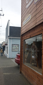 2015
2015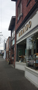 2015
2015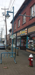 2015
2015