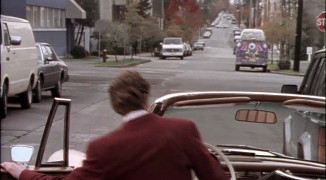
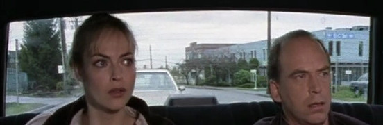
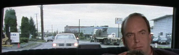
1565 W 7th Ave
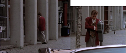
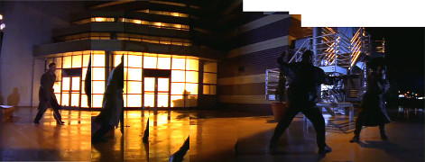
1x12: Eyewitness
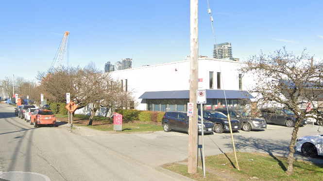
1565 W 7th Ave
1x12: Eyewitness
1565 W 7th Ave
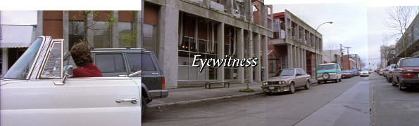
1x12: Eyewitness
1565 W 7th Ave
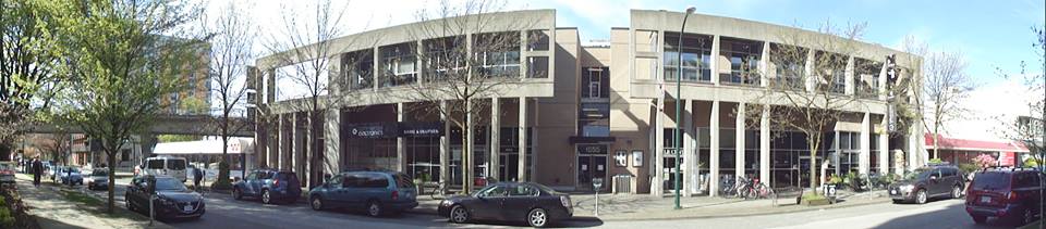
[Photo by Andy Sloane, 2014]
1565 W 7th Ave
1x12: Eyewitness
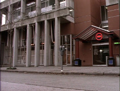
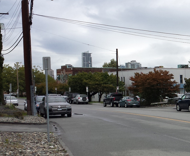
W 7th at Fir St, looking W
Google streetview, May 2009
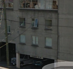
inside 1565 W 7th Ave
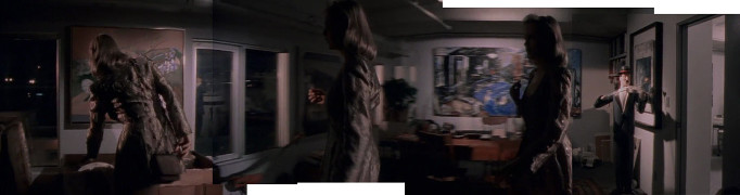
1x12: Eyewitness
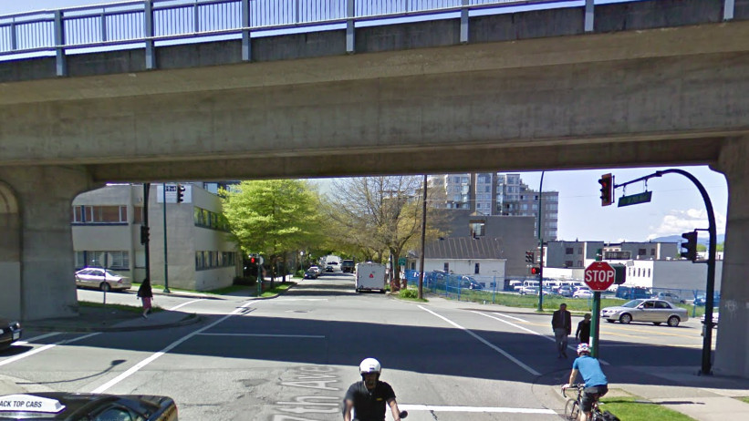
back of 1565 W 7th Ave, from bridge
Google streetview, Aug 2015
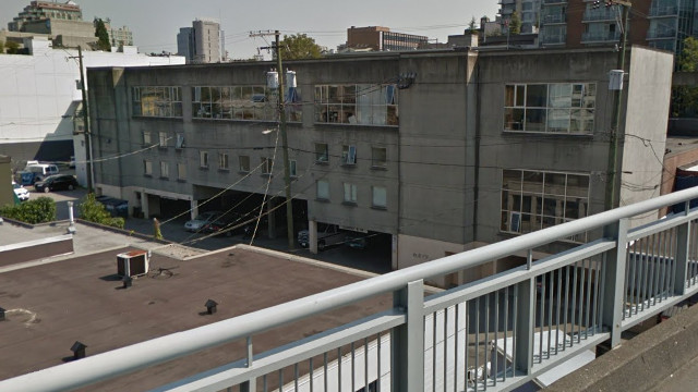
close-up of 'art gallery office' windows
Google streetview, Aug 2015
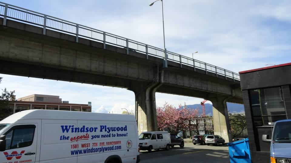
Cambie Bridge
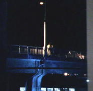
1x12: Eyewitness
Cambie Bridge
1x12: Eyewitness
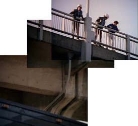
Cambie Bridge

1x12: Eyewitness
Cambie Bridge
[Photo by Andy Sloane, 2014]
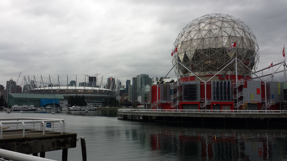
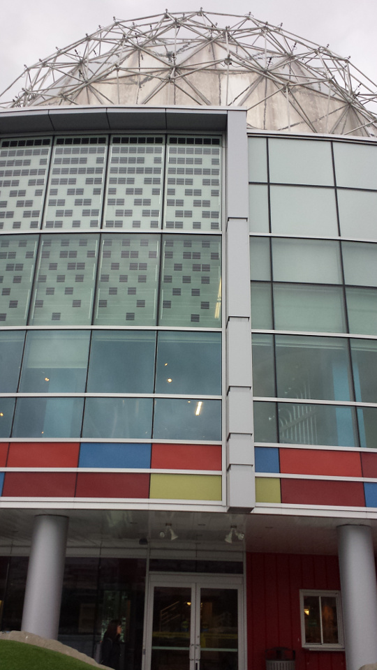
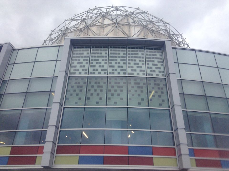
TELUS Science World
1x12: Eyewitness
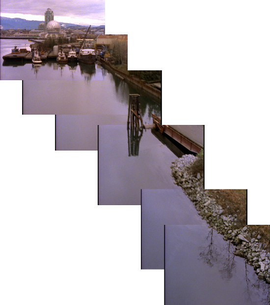
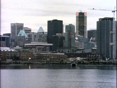
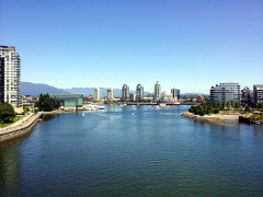
False Creek from Cambie Bridge
2014
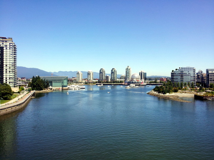
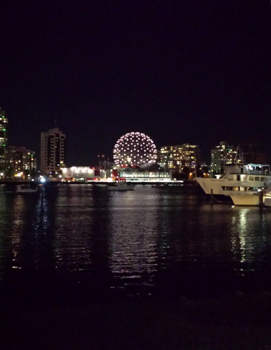
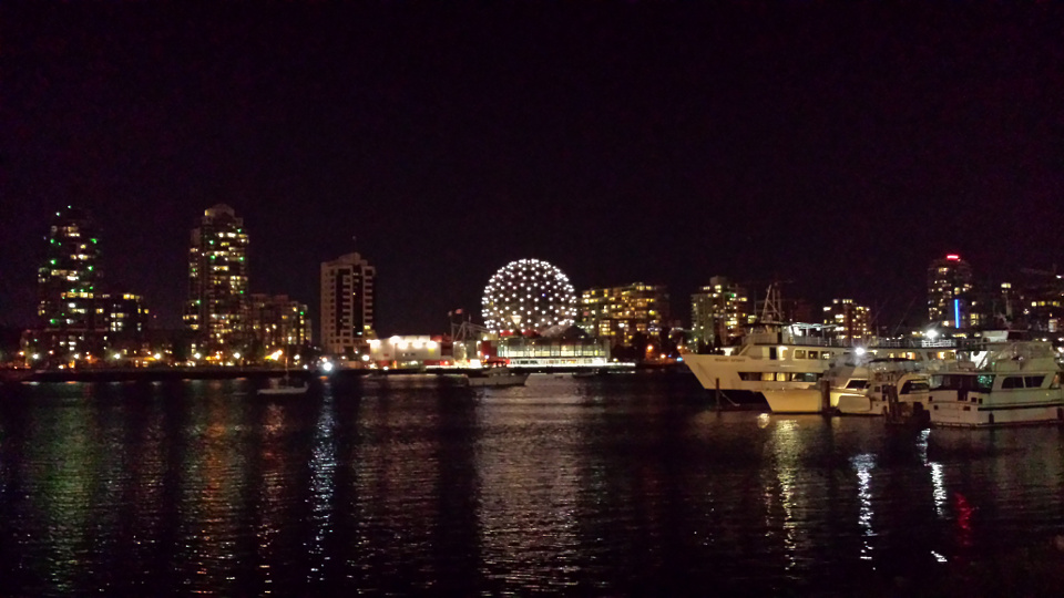
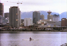
False Creek from Cambie Bridge
2015
False Creek from Cambie Bridge
[Photo by Jill Berticus, 2015]
TELUS World of Science
2015
TELUS World of Science

2015
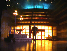
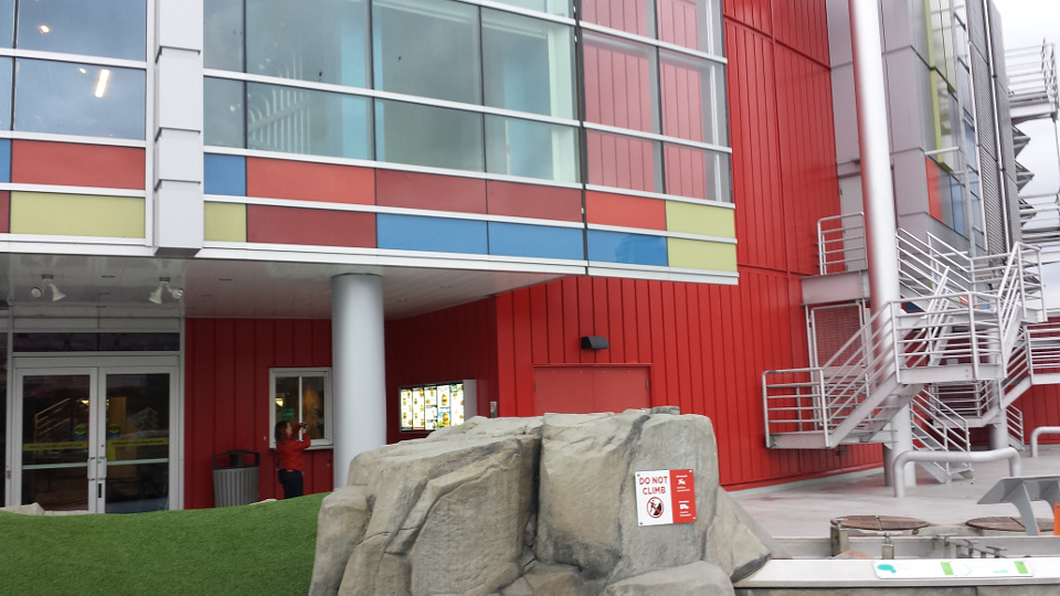
TELUS Science World
1x12: Eyewitness
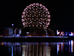
TELUS at night
2015
TELUS at night
2015
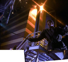
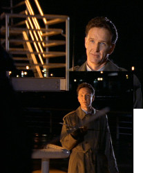
TELUS Science World
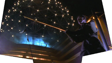
1x12: Eyewitness
TELUS Science World
1x12: Eyewitness
TELUS Science World
1x12: Eyewitness
TELUS Science World
1x12: Eyewitness
TELUS Science World
1x12: Eyewitness
TELUS World of Science
2015
TELUS World of Science
[Photo by Jill Berticus, 2015]
TELUS World of Science
2014
TELUS World of Science
2015
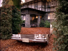
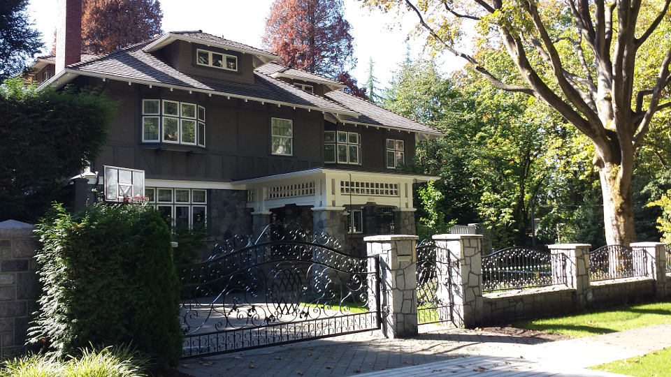
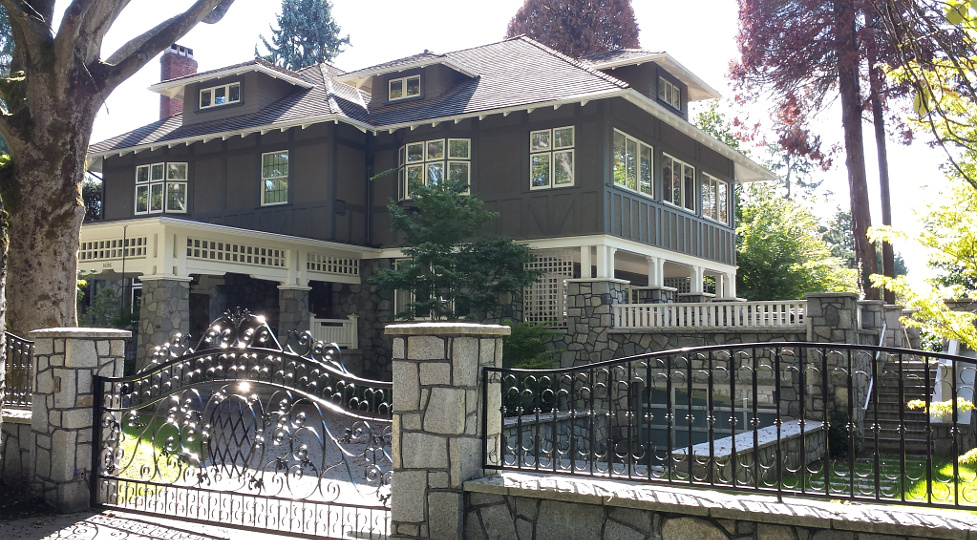
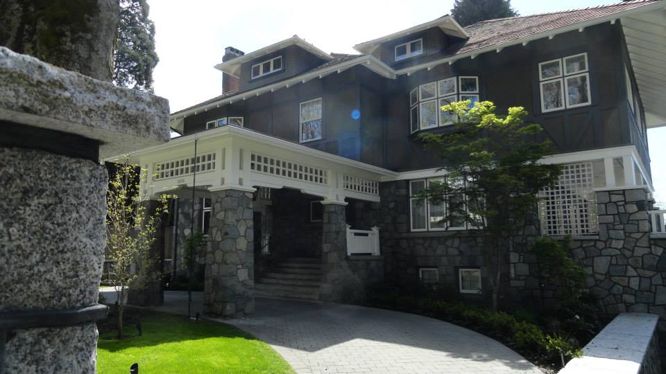
1696 Laurier Ave, Shaughnessy
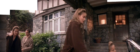
1x12: Eyewitness
1696 Laurier Ave, Shaughnessy
1x12: Eyewitness
1696 Laurier Ave, Shaughnessy
2015
1696 Laurier Ave, Shaughnessy
2015
1696 Laurier Ave, Shaughnessy

2015
1696 Laurier Ave, Shaughnessy
[Photo by Andy Sloane, 2014]
Vancouver Police Museum
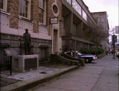
1x12: Eyewitness
Police Museum commemorative plaque
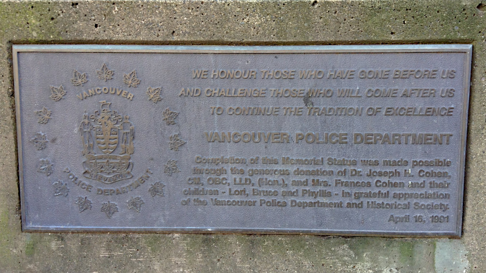
[Photo by Jill Berticus, 2015]
Police Museum statue
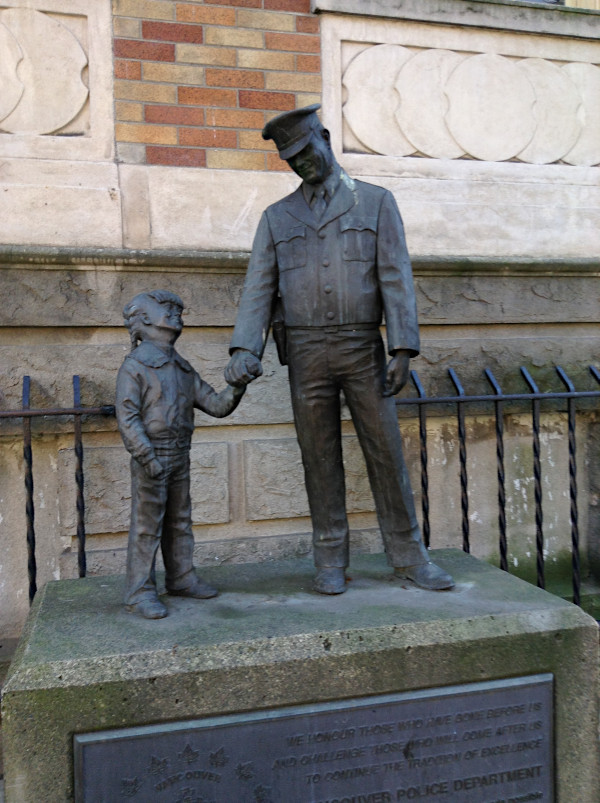
[Photo by Jill Berticus, 2015]
Vancouver Police Museum

2014
Vancouver Police Museum

2015
from Seaside Bicycle Route near Cambie bridge
1x13: Band of Brothers
4x13: Something Wicked
from Seaside Bicycle Route near Cambie bridge
1x12: Eyewitness
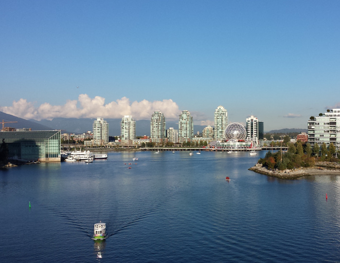
View from Seaside Bicycle Route near Cambie bridge

2015
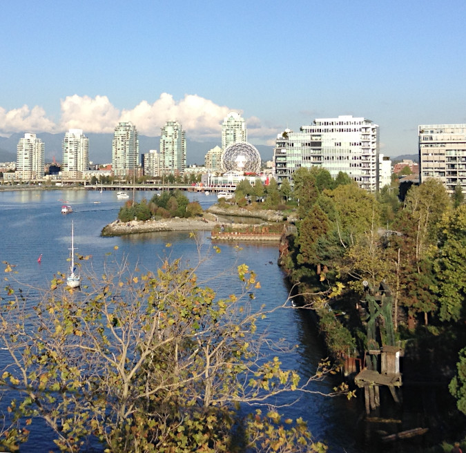
View from Seaside Bicycle Route near Cambie bridge

2015
Harbour Centre Tower from Portside Park

2014
2625 Douglas Rd, Burnaby
1x12: Eyewitness
2625 Douglas Rd, Burnaby
[Photo by Andy Sloane, 2014]
2625 Douglas Rd, Burnaby

2015
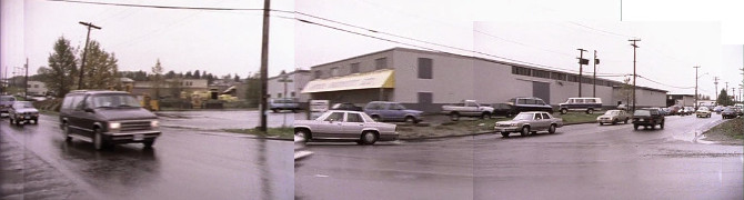
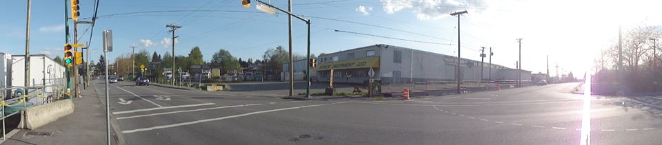
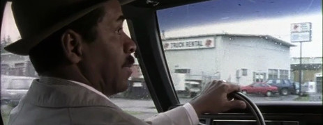
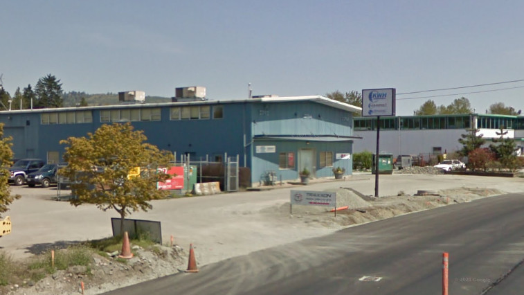
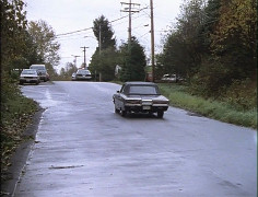
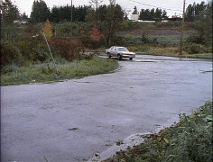
Norland Ave, Burnaby (driving north)
1x12: Eyewitness
3350 Norland Ave, Burnaby
Google streetview, Jul 2019
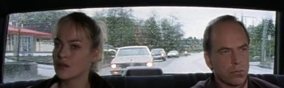
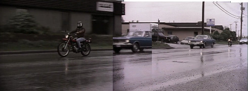
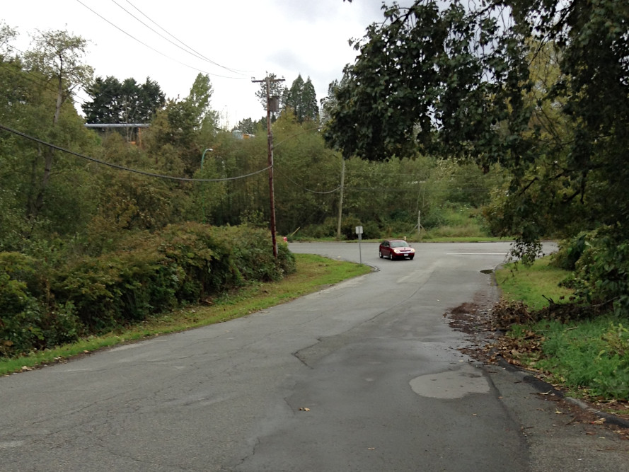
Norland Ave, Burnaby (driving east)
1x12: Eyewitness
Norland Ave, Burnaby
2015
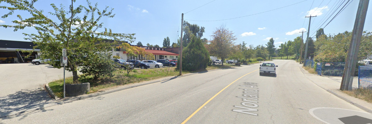
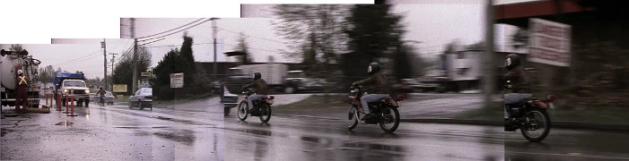
Norland Ave, Burnaby (driving east)
1x12: Eyewitness
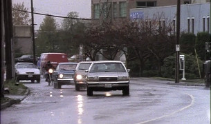
Norland Ave, Burnaby (driving east)
1x12: Eyewitness
2758 Norland Ave, Burnaby
Google streetview, Feb 2022
2794 Norland Ave, Burnaby

2015
Norland Ave, Burnaby (driving east)
1x12: Eyewitness
2794 Norland Ave, Burnaby
Google streetview, May 2009
Norland Ave, Burnaby
1x12: Eyewitness
Norland Ave, Burnaby
1x12: Eyewitness
Norland Ave, Burnaby
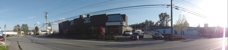
[Photo by Andy Sloane, 2014]
2829 Norland Ave, Burnaby
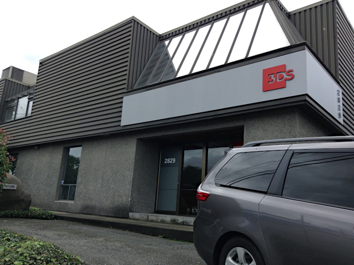
[Photo by Jill Berticus, 2015]
2809 Norland Ave, Burnaby
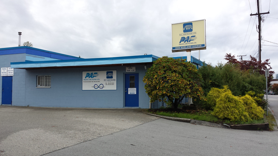
2015
Laurel St, Burnaby
1x12: Eyewitness
Laurel St, Burnaby
1x12: Eyewitness
Laurel St, Burnaby
2015
Laurel St, Burnaby
2015
Laurel St, Burnaby
[Photo by Jill Berticus, 2015]
 for additional scene screencaps.
 2014
2014 2015
2015 2015
2015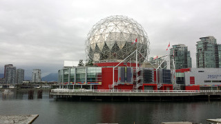 2015
2015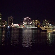 2015
2015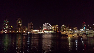 2015
2015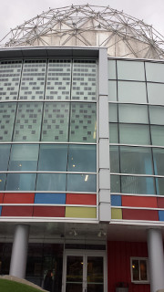 2015
2015 2014
2014 2015
2015 2015
2015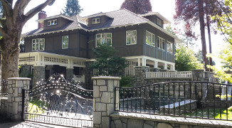 2015
2015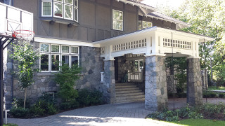 2015
2015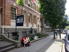 2014
2014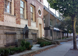 2015
2015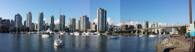 2015
2015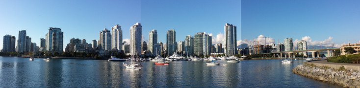 2015, at [49.269510,-123.117904]
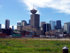 2014
2014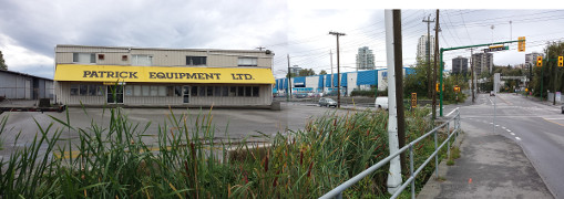 2015
2015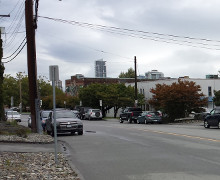 2015
2015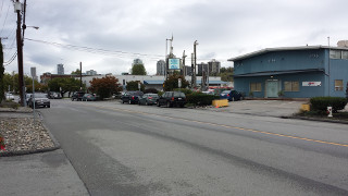 2015
2015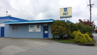 2015
2015 2015
2015 2015
2015