| Screenshot |
 11 11 |

[2], [3,48,50], [4,37,40,44,49,51], [7,33], [9-12], [15,24,35,38,45],
[30-32,36], [17], [22-23], [25,46], [26,47], [27-28], [39,42], [41]
Pt 8 of 16
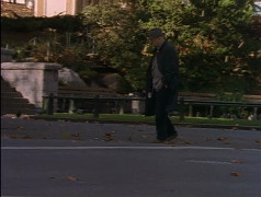
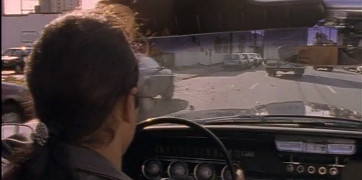
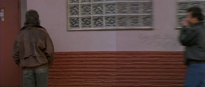
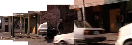
E Hastings St, between Columbia & Main
north side (see Part 4 for south side)
|
 |
Back to 2x09: Run for Your Life
(click on images to view larger version) |
[2], [3,48,50], [4,37,40,44,49,51], [7,33], [9-12], [15,24,35,38,45],
[30-32,36], [17], [22-23], [25,46], [26,47], [27-28], [39,42], [41]
|
[2], [3,48,50], [4,37,40,44,49,51], [7,33], [9-12], [15,24,35,38,45],
[30-32,36], [17], [22-23], [25,46], [26,47], [27-28], [39,42], [41]
|
[2], [3,48,50], [4,37,40,44,49,51], [7,33], [9-12], [15,24,35,38,45],
[30-32,36], [17], [22-23], [25,46], [26,47], [27-28], [39,42], [41]
|
| Screenshot |
 22 22 |
| Streetview |
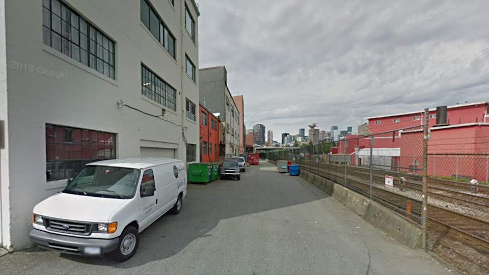 alley behind buildings W of Dunlevy alley behind buildings W of Dunlevy
Google streetview, May 2016 |
This is south of the railroad tracks rather than north. Google doesn't currently have anything from Waterfront on the other side. |
[2], [3,48,50], [4,37,40,44,49,51], [7,33], [9-12], [15,24,35,38,45],
[30-32,36], [17], [22-23], [25,46], [26,47], [27-28], [39,42], [41]
|
| Screenshots |
 25 25 |
 46 46 |
[2], [3,48,50], [4,37,40,44,49,51], [7,33], [9-12], [15,24,35,38,45],
[30-32,36], [17], [22-23], [25,46], [26,47], [27-28], [39,42], [41]
|
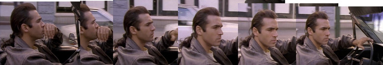
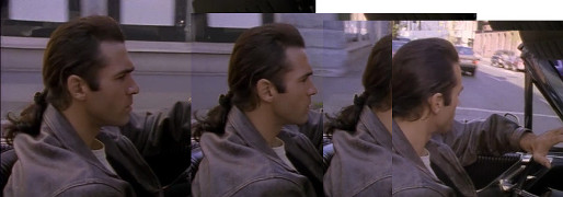
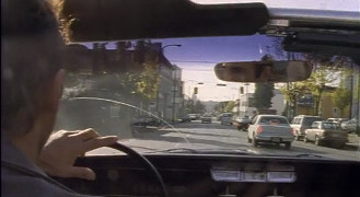
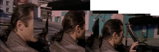
Pt 13 of 16
W Cordova, between Homer & Cambie
[49.283770,-123.109551]
(south side, driving southeast)
|
Back to 2x09: Run for Your Life
(click on images to view larger version) |
[2], [3,48,50], [4,37,40,44,49,51], [7,33], [9-12], [15,24,35,38,45],
[30-32,36], [17], [22-23], [25,46], [26,47], [27-28], [39,42], [41]
|
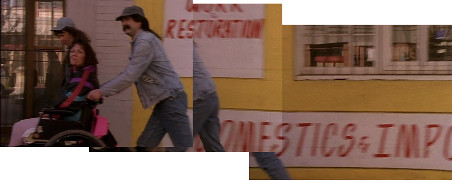
Pt 14 of 16
various streets & alleys
|
|
Back to 2x09: Run for Your Life
(click on images to view larger version) |
27 - Waterfront Rd, at W side of Portside Park [49.284701,-123.104189]
28 - Marr Hotel, 403 Powell [49.283126,-123.095062]
|
[2], [3,48,50], [4,37,40,44,49,51], [7,33], [9-12], [15,24,35,38,45],
[30-32,36], [17], [22-23], [25,46], [26,47], [27-28], [39,42], [41]
|
| Screenshots |
 39 39 |
|
 42 42 |
[2], [3,48,50], [4,37,40,44,49,51], [7,33], [9-12], [15,24,35,38,45],
[30-32,36], [17], [22-23], [25,46], [26,47], [27-28], [39,42], [41]
|
Back to screencaps page
| Highlander |
| Transcripts |
Screencaps |
Location Photos |
| Check out my Sitemap for more 'updates' info. |
Last updated: February 25, 2026 |
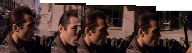
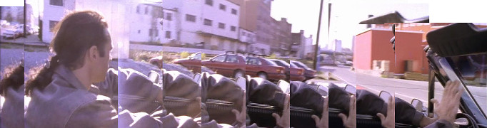
Seymour St, between Davie & Helmcken 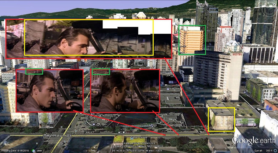 (map provided by Andy Sloane) Seymour St, west of Helmcken (looking north) 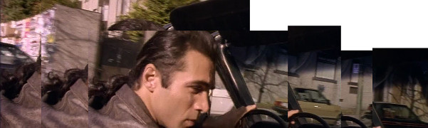 2x09: Run For Your Life (3) Building on Seymour 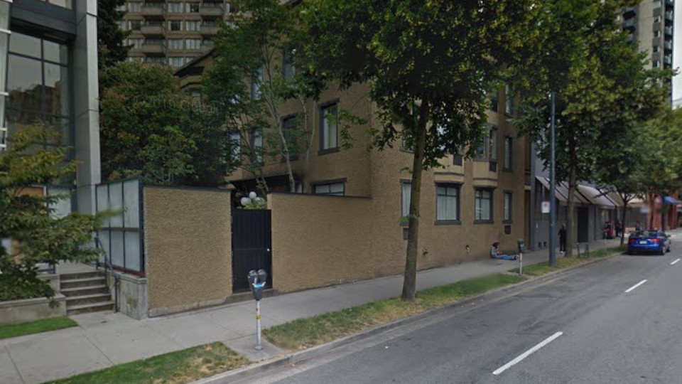 Google streetview, Jul 2012 New building on Seymour  Google streetview, Jul 2024 1155 Seymour St 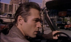 2x09: Run For Your Life (48) Buildings NW of Seymour  Google maps 3D, Oct 2025 1155 Seymour St  2x09: Run For Your Life (50) S side of E Hastings St, between Columbia & Main  (map provided by Andy Sloane) 401 Main St  2x09: Run For Your Life (49) 401 Main St 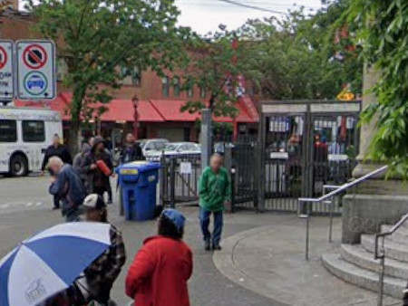 Google streetview, May 2019 Regent Hotel, 160 E Hastings 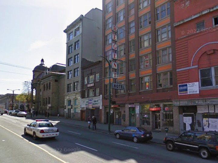 Google streetview, Apr 2009 160 E Hastings 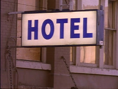 2x09: Run For Your Life (37) 160 E Hastings 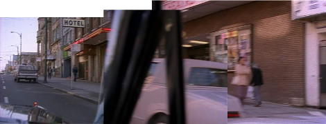 2x09: Run For Your Life (40) 130 E Hastings 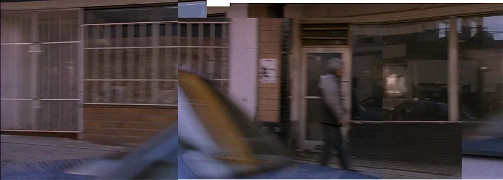 2x09: Run For Your Life (44c) 130 E Hastings 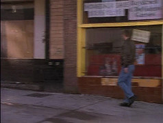 2x09: Run For Your Life (44a) 130 E Hastings 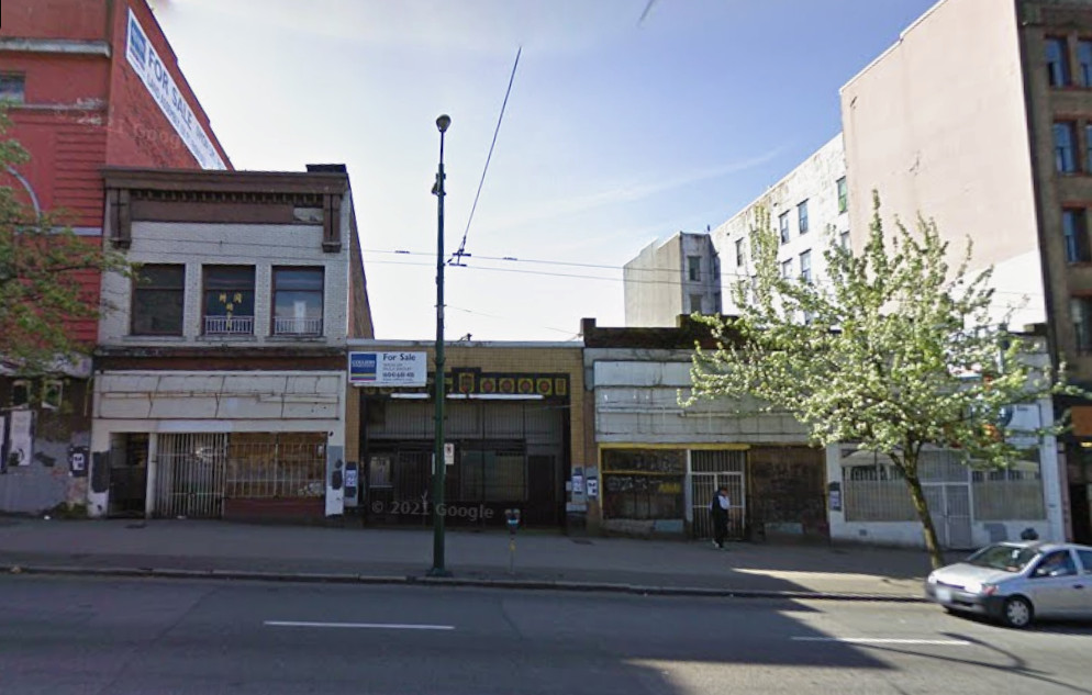 Google streetview, Apr 2009 new building 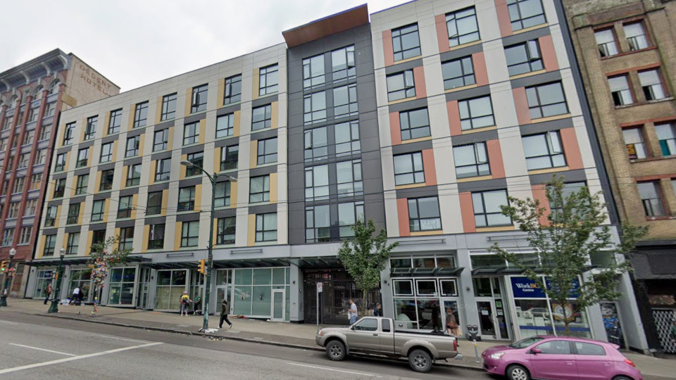 Google streetview, May 2019 130 E Hastings 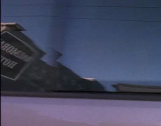 2x09: Run For Your Life (44b) Balmoral Hotel across the street (no longer there) 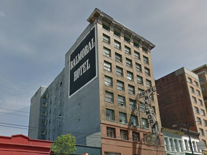 Google streetview, May 2012 112 E Hastings 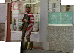 2x09: Run For Your Life (51) 106 E Hastings 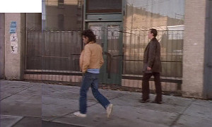 2x09: Run For Your Life (4) 112 & 106 E Hastings 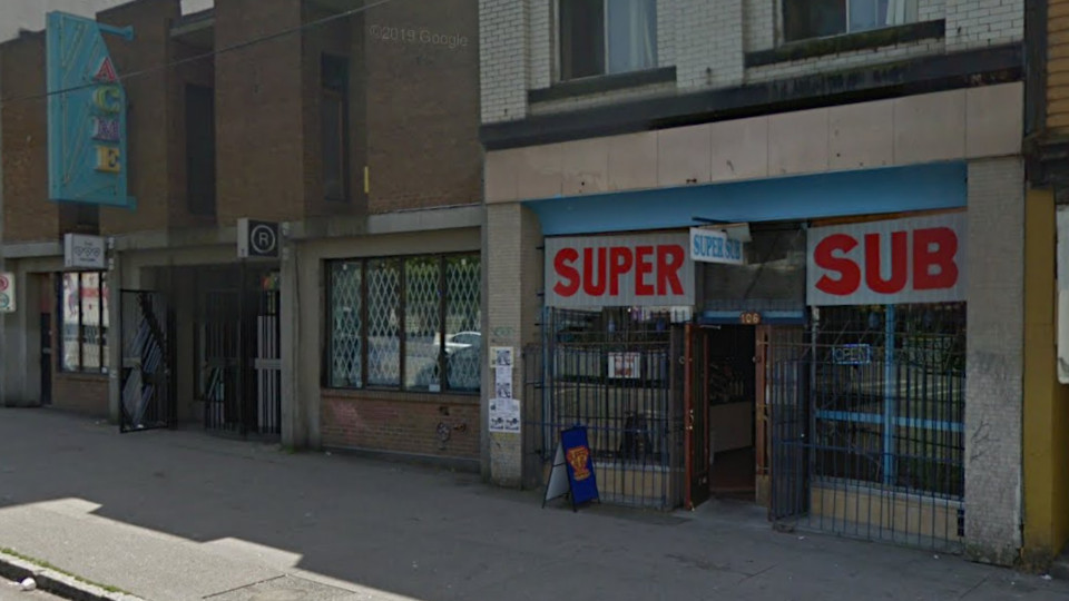 Google streetview, May 2012 various streets & alleys 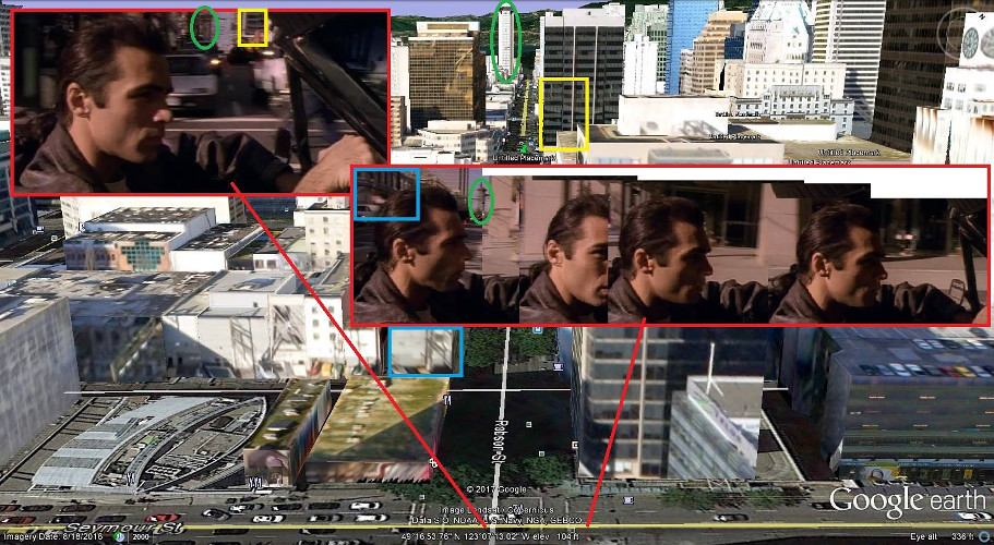 (map provided by Andy Sloane) Seymour at Robson (looking NW) 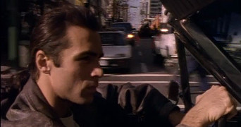 2x09: Run For Your Life (9) Robson (looking NW) 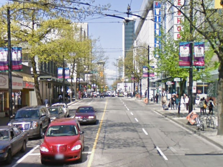 Google streetview, Apr 2009 Seymour at Robson (looking NW) 2x09: Run For Your Life (11) Robson (looking NW) 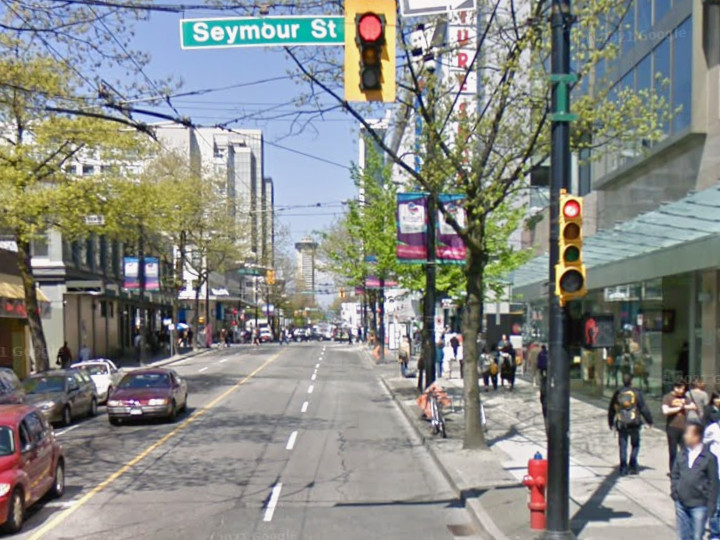 Google streetview, Apr 2009 450 W Cordova 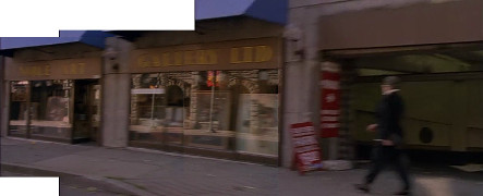 2x09: Run For Your Life (12) 450 W Cordova 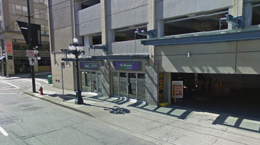 Google streetview, Apr 2009 N side of E Hastings St, between Columbia & Main 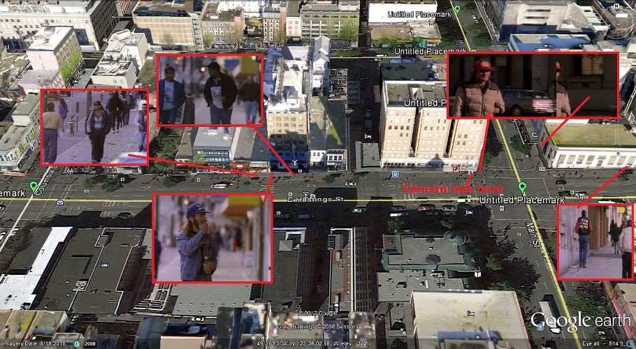 (map provided by Andy Sloane) 151 E Hastings 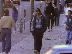 2x09: Run For Your Life (35) 151 E Hastings 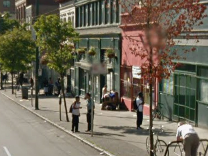 Google streetview, Aug 2011 159 E Hastings  2x09: Run For Your Life (38) 159 E Hastings  2x09: Run For Your Life (15) 159 E Hastings 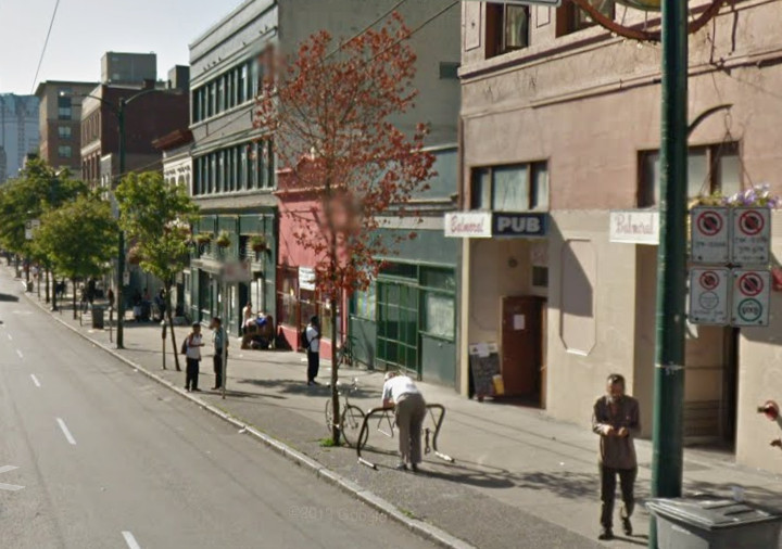 Google streetview, Aug 2011 324 Main (camera across Main) 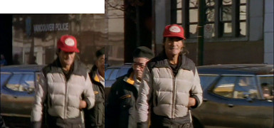 4x03: The Innocent 324 Main St 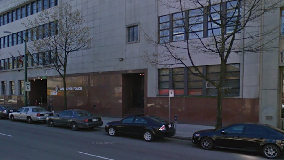 Google streetview, Apr 2011 390 Main (camera across Main) 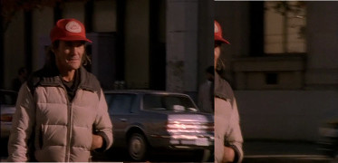 2x09: Run For Your Life (45) 390 Main St 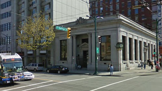 Google streetview, Aug 2011 235 E Hastings / S side of 390 Main  2x09: Run For Your Life (24) 235 E Hastings / S side of 390 Main 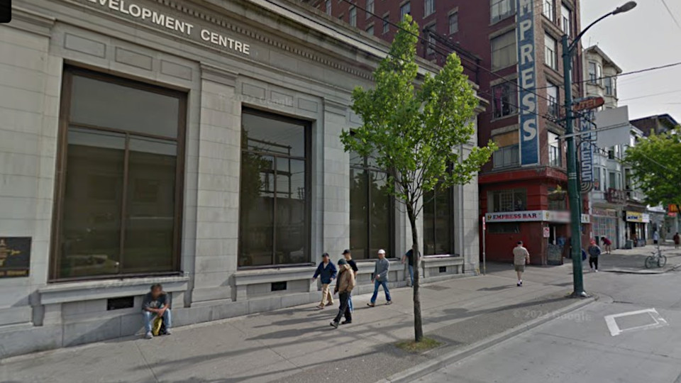 Google streetview, May 2012 Sunrise Hotel, 101 E Hastings 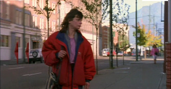 4x03: The Innocent Sunrise Hotel, 101 E Hastings  2x09: Run For Your Life (32) Columbia St, looking N 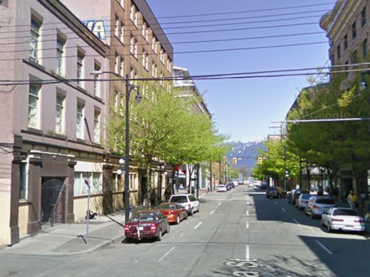 Google streetview, Apr 2009 Roosevelt Hotel 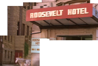 2x09: Run For Your Life (17) Roosevelt Hotel, 166 E Hastings 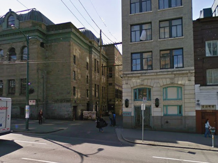 Google streetview, Apr 2009 Roosevelt Hotel 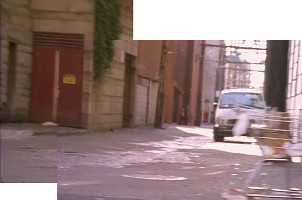 2x09: Run For Your Life (17) turning L (W) onto E Waterfront from Dunlevy 2x09: Run For Your Life (22) alley behind buildings W of Dunlevy Google streetview, May 2016 W Hastings & Richards (north corner) 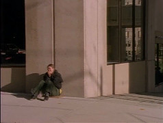 2x09: Run For Your Life (23) N corner of W Hastings & Richards 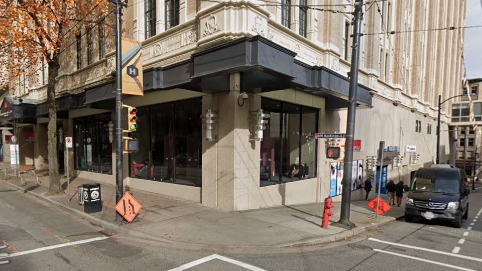 Google streetview, Oct 2018 Cambie St at Victory Square 2x09: Run For Your Life (25) Cambie St at Victory Square 2x09: Run For Your Life (46) Victory Square 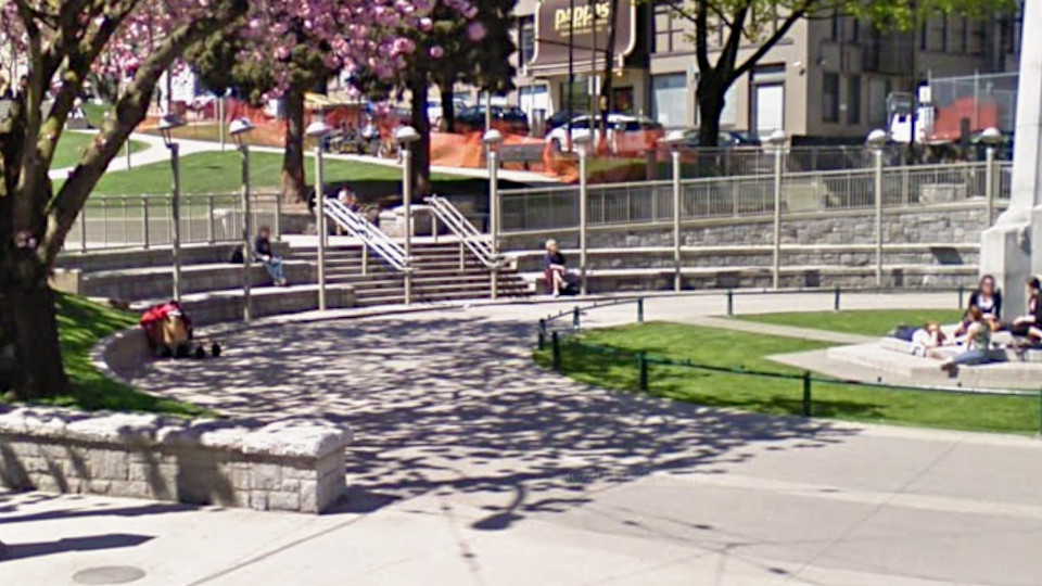 Google streetview, Apr 2009 S side of W Cordova, between Homer & Cambie 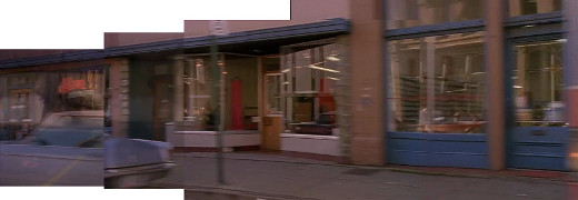 2x09: Run For Your Life (26) S side of W Cordova, between Homer & Cambie 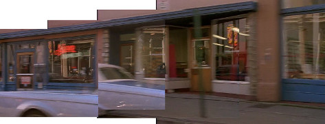 2x09: Run For Your Life (47a) S side of W Cordova, between Homer & Cambie 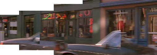 2x09: Run For Your Life (47b) 4x03: The Innocent 306 & 310 W Cordova 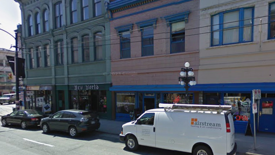 Google streetview, Apr 2009 316 & 320 W Cordova 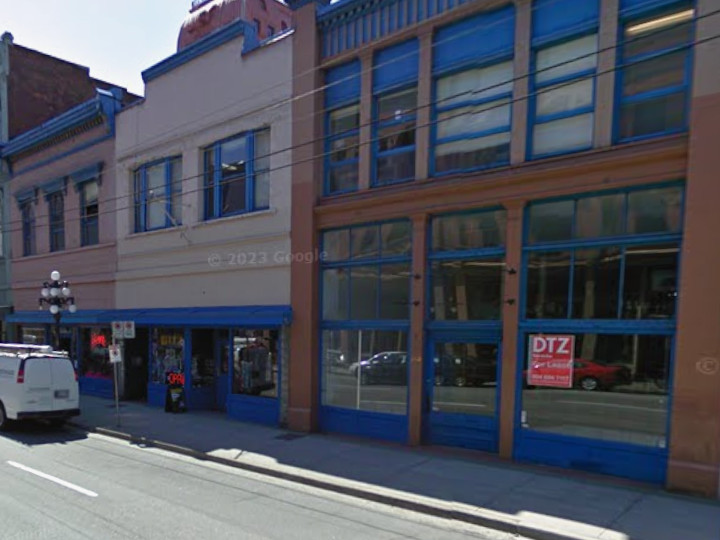 Google streetview, Apr 2009 S side of W Cordova, between Homer & Cambie 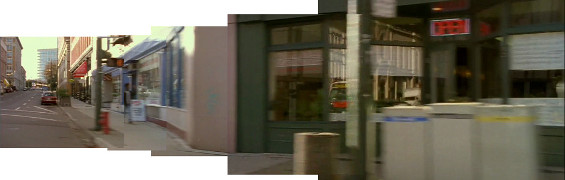 4x03: The Innocent W corner of Cordova & Cambie 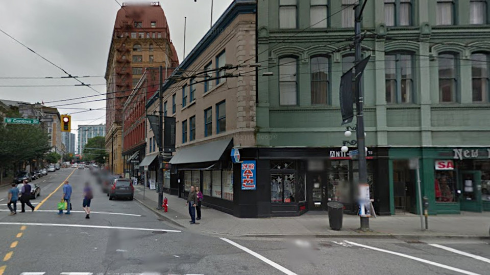 Google streetview, Apr 2009 Waterfront Rd, at W side of Portside Park 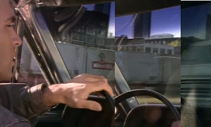 2x09: Run For Your Life (27) Waterfront Rd 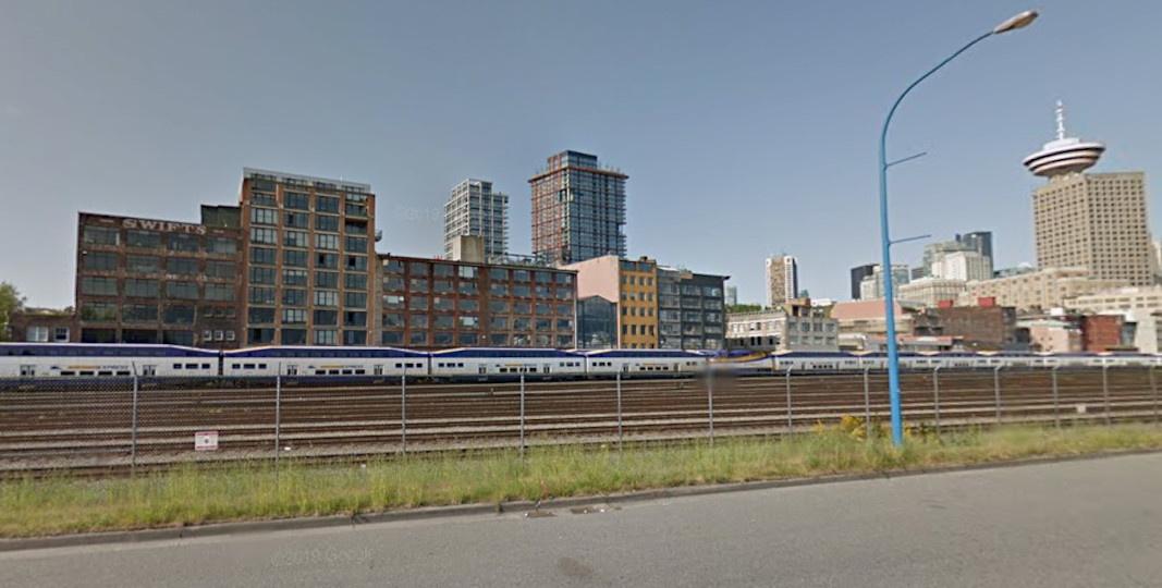 Google streetview, May 2012 Marr Hotel, 403 Powell 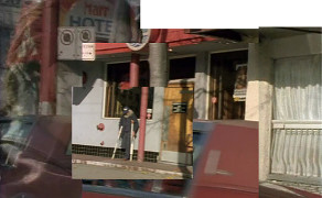 2x09: Run For Your Life (28) Marr Hotel, 403 Powell 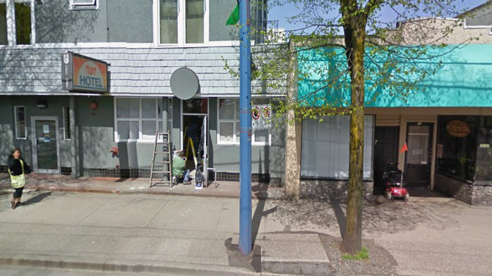 Google streetview, Apr 2009 S side of 299 Columbia St (on E Cordova) 2x09: Run For Your Life (39) S side of 299 Columbia St (on E Cordova) 2x09: Run For Your Life (42) S side of 299 Columbia St (on E Cordova) 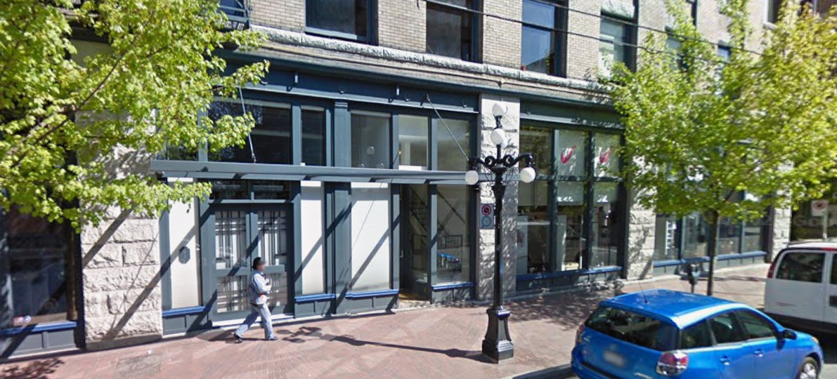 Google streetview, Apr 2009
Click image to close.
|
 1
1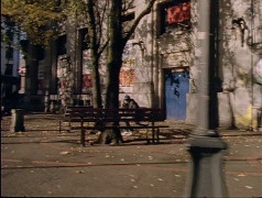
 5
5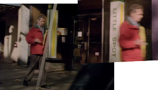 6
6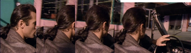
 8
8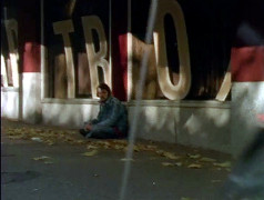 10
10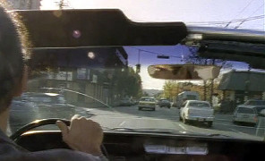 13
13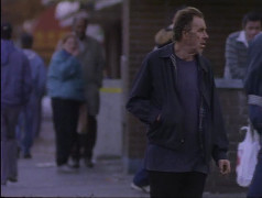 14
14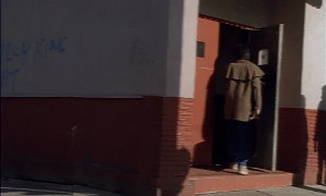 16
16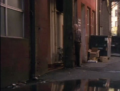 18
18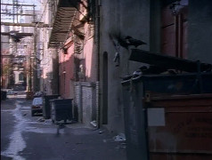 19
19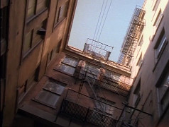 20
20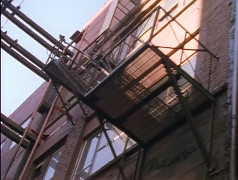 21
21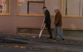 29
29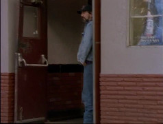
 34
34
 43
43 52
52