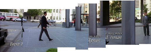
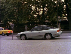
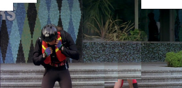
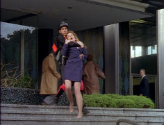
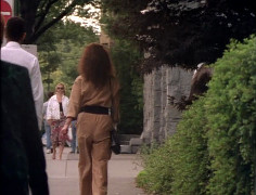
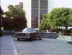
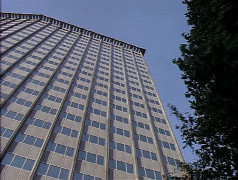
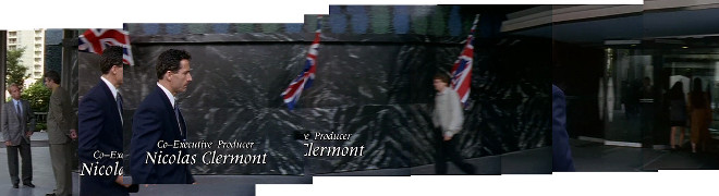
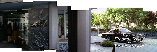
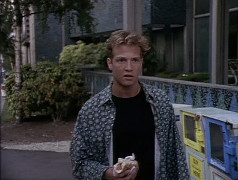
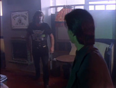
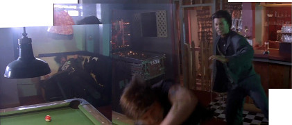
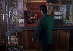
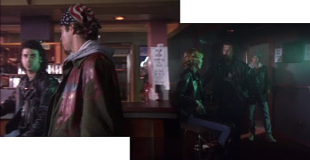
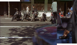
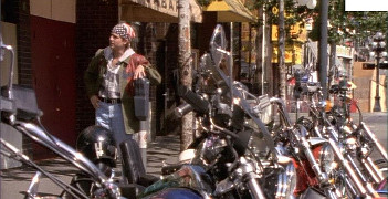
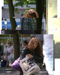
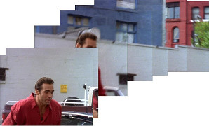
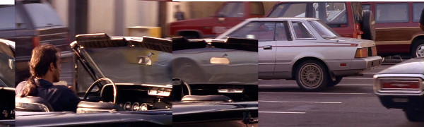
The Electra, 989 Nelson St
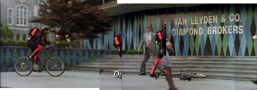
1x03: Road Not Taken
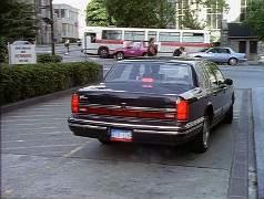
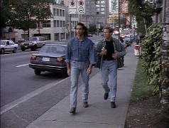
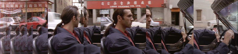
The Electra, 989 Nelson St
1x03: Road Not Taken
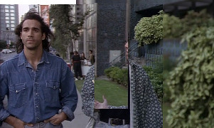
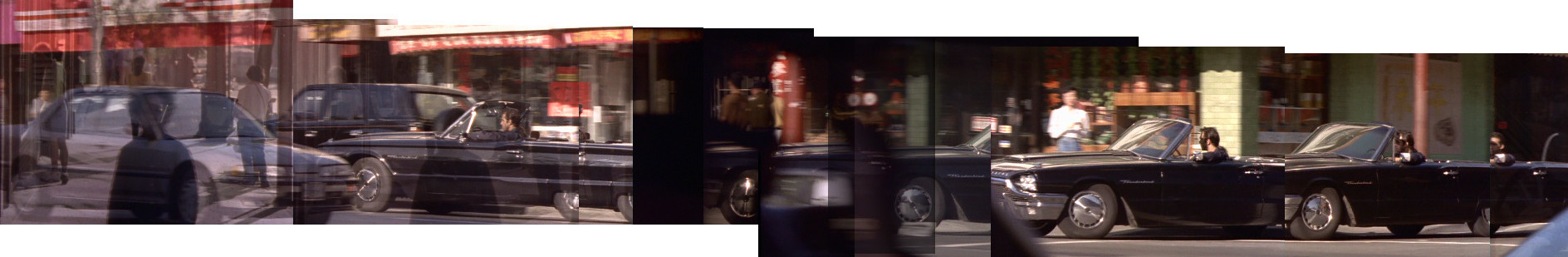
The Electra, 989 Nelson St
1x03: Road Not Taken
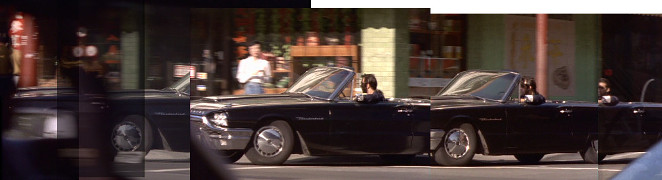
The Electra, 989 Nelson St
1x03: Road Not Taken
The Electra, 989 Nelson St
1x03: Road Not Taken
The Electra, 989 Nelson St
1x03: Road Not Taken
The Electra, 989 Nelson St
1x03: Road Not Taken
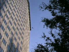
The Electra, 989 Nelson St
2x05: Eye For An Eye
The Electra, 989 Nelson St
2x05: Eye For An Eye
The Electra, 989 Nelson St
2x05: Eye For An Eye
The Electra, 989 Nelson St
2x05: Eye For An Eye
The Electra, 989 Nelson St
2x05: Eye For An Eye
The Electra, 989 Nelson St
2x05: Eye For An Eye
The Electra, 989 Nelson St
2x05: Eye For An Eye
The Electra, 989 Nelson St
2x05: Eye For An Eye
The Electra, 989 Nelson St
2x05: Eye For An Eye
The Electra, 989 Nelson St
2x05: Eye For An Eye
The Electra, 989 Nelson St
2x05: Eye For An Eye
The Electra, 989 Nelson St
2x05: Eye For An Eye
The Electra, 989 Nelson St
2x05: Eye For An Eye
The Electra, 989 Nelson St
2x05: Eye For An Eye
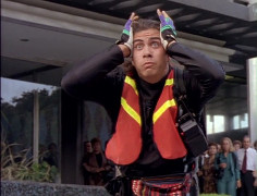
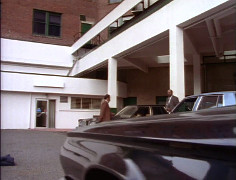
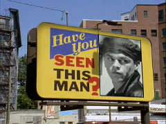
Eagle Ridge Hospital
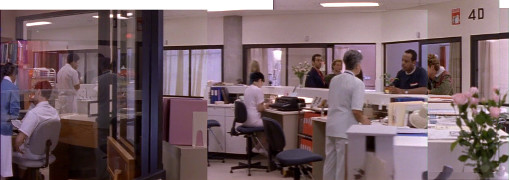
1x03: Road Not Taken
Eagle Ridge Hospital
1x03: Road Not Taken
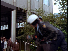
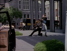
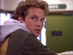
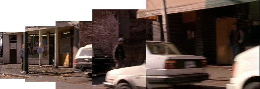
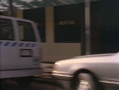
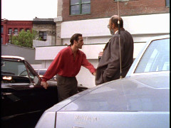
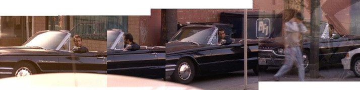
319 Carrall
1x03: Road Not Taken
319 Carrall
1x03: Road Not Taken
319 Carrall
1x03: Road Not Taken
319 Carrall
1x03: Road Not Taken
319 Carrall
1x03: Road Not Taken
319 Carrall
1x03: Road Not Taken
319 Carrall
1x03: Road Not Taken
319 Carrall
2x09: Run for Your Life (41b)
319 Carrall
2x09: Run for Your Life (41a)
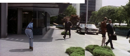
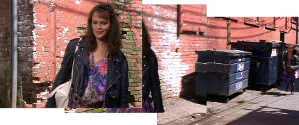
beside 319 Carrall St
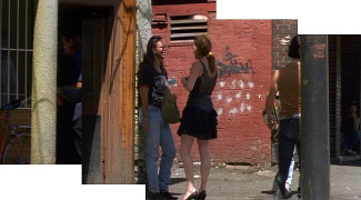
1x03: Road Not Taken
beside 319 Carrall St
1x03: Road Not Taken
beside 319 Carrall St
1x03: Road Not Taken
beside 319 Carrall St
1x03: Road Not Taken
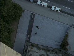
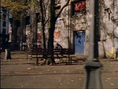
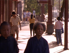
Pioneer Place / Pigeon Park, W Hastings
1x03: Road Not Taken
Pioneer Place / Pigeon Park, W Hastings
2x09: Run for Your Life (2)
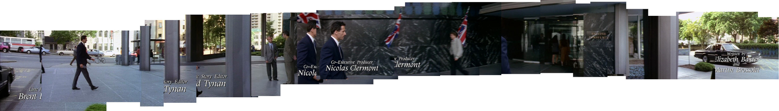
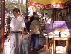
23 W Pender St
1x03: Road Not Taken
23 W Pender St
1x03: Road Not Taken
23 W Pender St
1x03: Road Not Taken
23 W Pender St
5x04: Glory Days
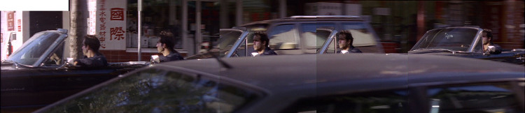
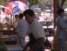
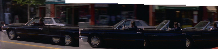
E Pender St between Gore & Main, driving W
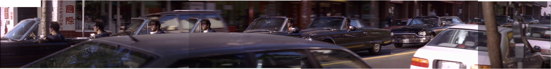
1x03: Road Not Taken
E Pender St between Gore & Main, driving W
1x03: Road Not Taken
E Pender St between Gore & Main, driving W
1x03: Road Not Taken
240 E Pender St
1x03: Road Not Taken
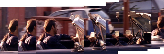
E Pender St, looking toward Main
1x03: Road Not Taken
E Georgia & Gore intersection, looking east
1x03: Road Not Taken
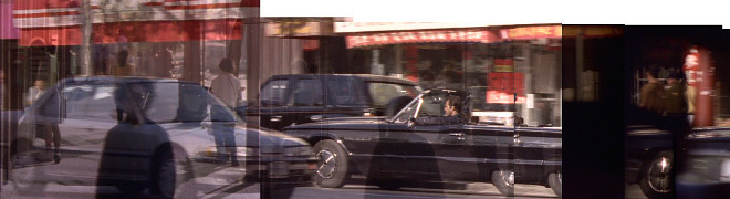
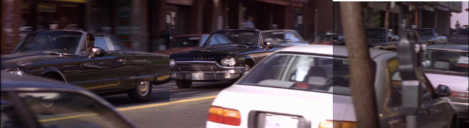
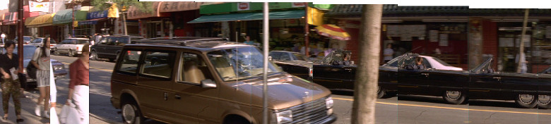
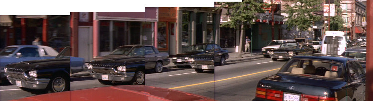
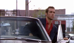
E Pender St between Columbia & Carrall, driving W
1x03: Road Not Taken
E Pender St between Columbia & Carrall, driving W
1x03: Road Not Taken
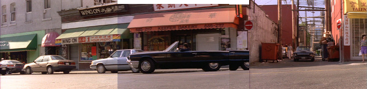
184 Keefer St

1x03: Road Not Taken
209 E Pender St
1x03: Road Not Taken
parking lot by 209 E Pender St
1x03: Road Not Taken
parking lot by 209 E Pender St
1x03: Road Not Taken
212 E Georgia St
1x03: Road Not Taken
Keefer & Main intersection
1x03: Road Not Taken
Keefer & Main intersection
1x03: Road Not Taken
215 Keefer St
1x03: Road Not Taken
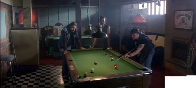
Alley near Chinese Garden
1x03: Road Not Taken
Alley near Chinese Garden
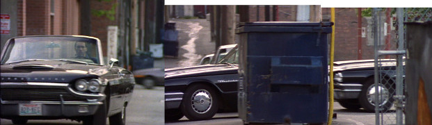
1x03: Road Not Taken
 for scene-specific location photos.